Tranquil 5.23 acres Lot in Beautiful County of Costilla!
Are you ready to escape crowded urban areas and look at this view every day?
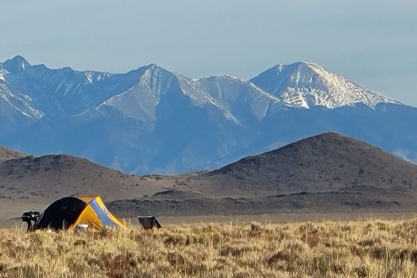
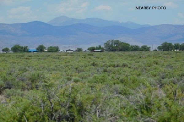
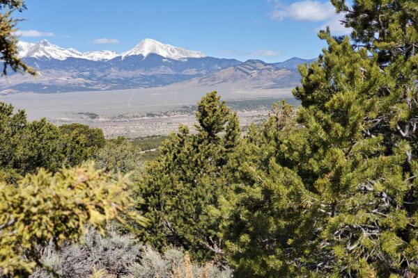
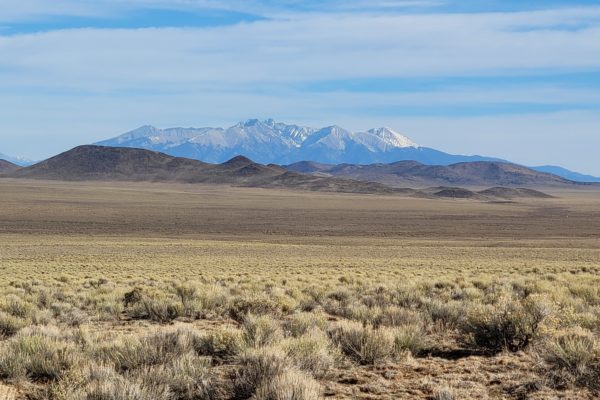
Build your cabin here and enjoy the tranquility of nature with beautiful mountain views! Imagine waking up every morning and seeing these majestic mountain views and serene surroundings! This property is perfectly situated close to Highway 142, just a few miles away from the town of Sanford, CO. Few miles North of the property is the majestic Blanca Peak, the fourth highest summit of the Rocky Mountains, an amazing location for camping and hiking.
Parcel Number: 71563690
Size: 5.23 acres
Zoning: Residential
GPS Coordinates
Center: 37.18259069070034, -105.65847383202073
NW Corner: 37.1828948695515,-105.658688444164
SW Corner: 37.1800012190234,-105.658689462504
SE Corner: 37.1799754687668,-105.657950738153
NE Corner: 37.1828946939712,-105.657950164186
Power: Mobile/Satellite/Alternative
Septic: Septic or Alternative System
Water: Would be by well or Alternative System
Access: Dirt Road
RV: Long-Term RV Camping Permits are valid for 60 Days (new application must be filed before the expiration date of the permit. Long-term camping SHALL NOT EXCEED 180 DAYS per RV, Person, or Parcel in any 12 month period. RV’s must be inspected by the Planning and Zoning office to ensure all plumbing and electrical is in working order prior to application approval. 14 days of camping within a 3 month period.
Mobile homes: Mobile Homes manufactured prior to 1976 are prohibited in unincorporated Costilla County. Site built home 600sqft min.
Taxes: $53.16
Legal Description: R.G.R. UNIT 49 BLK 5 LOT41 (TDTC 317-44-48) (QC/B & SC-331-83-84)(QCD 351-383)(WD 401-905-907)