Great 5.01-Acre Parcel in Mount Blanca Estates
***Seller Financing available–No Credit / Employment Checks–MANUFACTURED HOMES ALLOWED!***
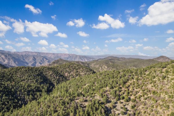
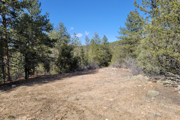
This is a great 5.01-acre parcel located in Mount Blanca Estates (Unit 5 Block 1 Lot 3). Property is gently rolling and can be accessed via Chinook Avenue on the eastern portion of the lot.
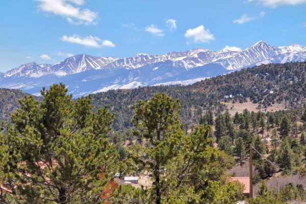
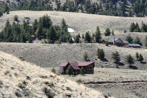
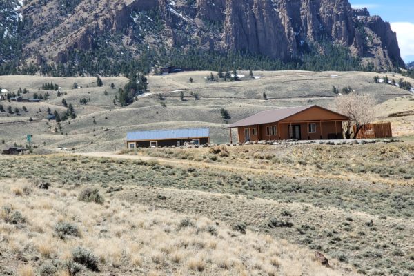
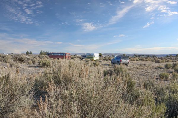
Are you looking for mountain views and somewhere to escape the hustle and bustle of city life? This is it. Imagine your own spot to get away and enjoy the great outdoors from your property in Costilla County, Colorado. Spend weekends, summer months or permanently when you own this property.
Mount Blanca Estates provides both the solitude of the area and the convenience of being near the towns of San Luis and Fort Garland. Costilla County is in the San Luis Valley of southern Colorado. The sunny, fertile, alpine valley is about 150 miles long and 75 miles wide, surrounded by the San Juan, La Garita and Sangre de Cristo mountain range.
On average, there are 285 sunny days a year in Fort Garland. This is a perfect location to enjoy fresh air, sunny days and bright star-filled nights.
If buying on terms, the minimum down payment for this property is $570 with monthly payments starting at $198/mo. Ask us how we can customize your payment plan to work for you!
NEARBY ACTIVITIES:
Looking for outdoor activities? The San Luis Valley is home to so much – from the Great Sand Dunes National Park, to the Blanca Wetlands, to numerous fishing, hunting, mountain biking and hiking opportunities!
The property is less than an hour from area amenities. Checkout the Mountain Home Reservoir, a popular fishing destination stocked with Trout in the summer.
Nearby is the Great Sand Dunes National Park and Preserve. The Park features hours of fun where you can:
*Hike, birdwatch and explore the Park’s numerous trailheads
*Sandsled and Sandboard on the dunes
*4WD through Medano Pass
*Stargaze at night
Learn more about this amazing National Park at:
- https://www.nps.gov/grsa/planyourvisit/index.htm
- https://www.nps.gov/grsa/learn/news/upload/visitor-guide-great-sand-dunes2019-webversion2.pdf
Approximate distances from Fort Garland, CO:
San Luis, CO = 16 miles (16 minutes)
Alamosa, CO = 25 miles (25 minutes)
Pueblo, CO = 98 miles (1.5 hours)
Colorado Springs, CO = 140 miles (2 hours)
Santa Fe, NM = 150 miles (2.5 hours)
Albuquerque, NM = 212 miles (3.75 hours)
DETAILS
Property ID: |
70403953 |
|
Size of Lot (or LOT AREA): |
218,236 sq. ft. |
|
Acreage Size: |
5.01 acres |
|
Tax Assessment Year: |
2020 (Current) |
|
Yearly Taxes: |
$73.18 |
|
Tax Status: |
Current |
|
Zone Type: |
Estate – Residential |
|
Mobile Homes: |
Site built home 600 sq ft min, manufactured homes are okay. Mobile Homes manufactured prior to 1976 are prohibited in unincorporated Costilla County. |
|
RV: |
Long-Term RV Camping Permits are valid for 60 Days and a new application must be filed before the expiration date of the permit. $200 fee – septic & water required). Long-term camping SHALL NOT EXCEED 180 DAYS per RV, Person, or Parcel in any 12- month period. RV’s must be inspected by the Planning and Zoning office to ensure all plumbing and electrical is in working order prior to application approval. Sites will be inspected prior to approval. ONLY ONE (1) RV SHALL BE PERMITTED PER PARCEL. 14 days of camping within a 3-month period. $250 fee – good for 90 days at a time while building, renew for up to 18 months. |
|
Sewer: |
Septic can be installed. Composting toilets are only allowed if they are connected directly to an approved septic system. |
|
Water: |
Can drill a well. |
|
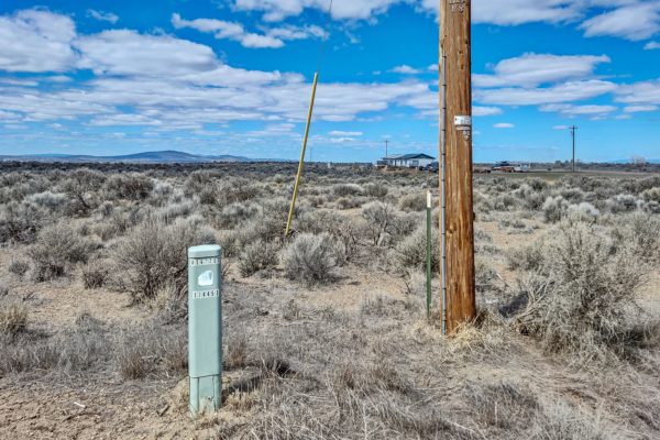
Electricity: |
No power lines nearby. |
|
Terrain: |
Property is gently rolling. |
|
Road Access: |
Property can be accessed via Chinook Ave on the Eastern portion of the lot. |
|
Flood Zone: |
No flood data available. |
|
HOA Past Due: |
No HOA/POA information found for the property online. |
|
Abbreviated Legal Description: |
M.B.E. UNIT 5 BLK 1 LOT 3 |
|
Complete Legal Description: |
Mount Blanca Estates Unit 5 Block 1 Lot 3 |
|
GPS Coordinates: |
||
Center: |
37.241386, -105.511611 |
|
NW: |
37.241881, -105.512762 |
|
NE: |
37.241889, -105.510508 |
|
SW: |
37.240981, -105.512762 |
|
SE: |
37.240981, -105.510513 |