Clear Colorado Air on 5.06 Acres in Costilla County near San Luis!
***Seller Financing available–No Credit / Employment Checks–MANUFACTURED HOMES ALLOWED!***
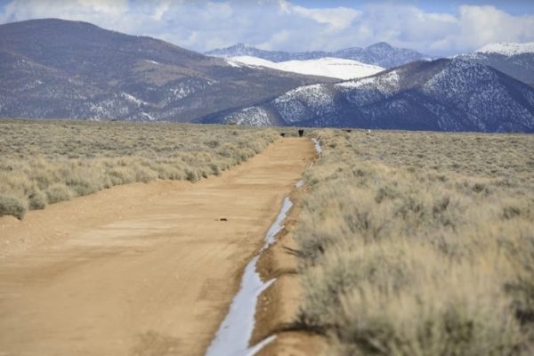
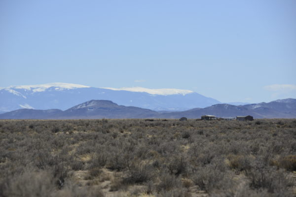
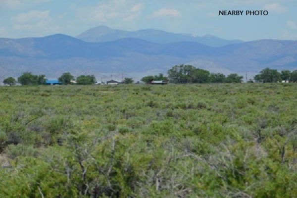
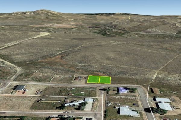
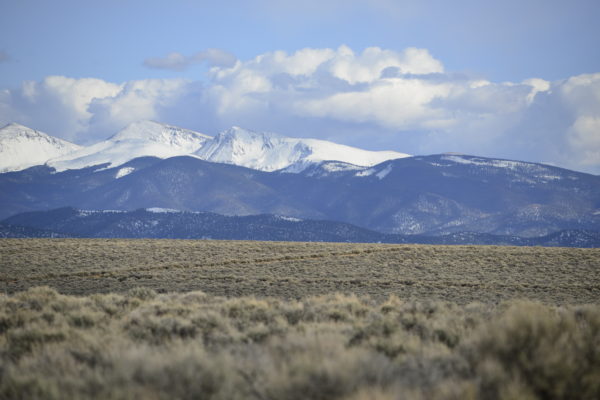
This 5.06-acre parcel in San Luis North Estates subdivision is only minutes away from San Luis on W. King Drive. Just imagine living in a place where you can smell the fresh air in the morning and enjoy the scenery of the vast Colorado mountain ranges. This is a great fit for anyone who wants to have a quiet and peaceful place to live in or escape to. Just clear nights skies for starry views as far as the eyes can see.
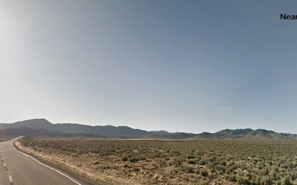
This could be your hideaway spot! This is a fantastic opportunity to own this year-round accessible property Costilla County. This area is surrounded by vast open spaces with wildlife and elk and vistas of the wide-open spaces.
Costilla County lies in south-central Colorado within the San Luis Valley. It covers nearly 1,227 square miles and ranges in elevation from 8,400 to 10,300 feet. Costilla County borders Conejos County to the west, Alamosa County to the northwest, Huerfano County to the northeast, Las Animas County to the east, and the state of New Mexico to the south. Classified as a high alpine desert. The county lies to the west of the Sangre de Cristo Mountains, which boasts several peaks above 14,000 feet, including Blanca Peak, Crestone Peak, and Culebra Peak.
Now is your chance to have the off the grid property you’ve always dreamed about. Spend your weekends hiking, fishing, hunting and just relaxing while you breathe in the fresh mountain air. Enjoy exploring Southern Colorado and the peace and natural beauty of the area. Become a Costilla County land owner now. Just do it!
DETAILS
Property ID: 70710380
Size of Lot (or LOT AREA): 22,047 sq feet
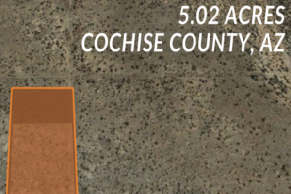
Acreage Size: 5.06 acres
Property Address N/A, SANFORD, CO 81151
Tax Assessment Year: 2021
Yearly Taxes: $130.88
Zone Type: Residential
Mobile Homes: Site built home 600sqft min, manufactured homes are okay.
RV: Long-Term RV Camping Permits are valid for 60 Days (new application must be filed before the expiration date of the permit. $200 fee – septic & water required. Long-term camping SHALL NOT EXCEED 180 DAYS per RV, Person, or Parcel in any 12 month period. RV’s must be inspected by the Planning and Zoning office to ensure all plumbing and electrical is in working order prior to application approval. Sites will be inspected prior to approval. ONLY ONE (1) RV SHALL BE PERMITTED PER PARCEL. 14 days of camping within a 3 month period. $250 fee – good for 90 days at a time while building, renew for up to 18 months.)
Sewer: Septic or Alternative System
Water: Would be by well or Alternative System
Electricity: Mobile/Satellite/Alternative
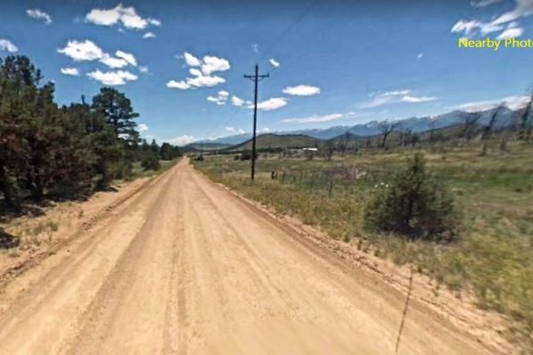
Road Access: Dirt Road
Abbreviated Legal Description: S.L.N.E. FILING 1 LOT 117 FR. SCH. 70700130
GPS Coordinates:
NW: 37.2472290984856,-105.452094417634
NE: 37.2472283580088,-105.450963203493
SW: 37.2453969946079,-105.452109006355
SE: 37.2453923475457,-105.450971886184