Beautiful Days Ahead on 2.51 Acres in Southeast Arizona
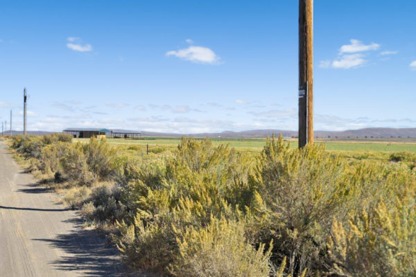
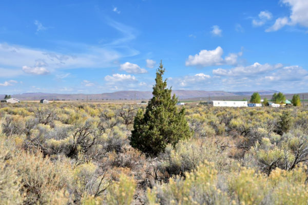
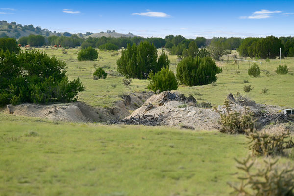
An ideal adventure destination, this 2.51 acre property in Southeastern Arizona is sure to please! Enjoy a mild climate in one of the cooler counties of Arizona, making this property perfect for year-round living, with summer highs in the mid-90s and winter lows in the 30’s. This property is conveniently located just 25 miles from the small town of Elfrida and 35 miles from Cochise, in case you need more options. Tucson is only 103 miles away.
Description
An ideal adventure destination, this 2.69 acre property in Southeastern Arizona is sure to please! Enjoy a mild climate in one of the cooler counties of Arizona, making this property perfect for year-round living, with summer highs in the mid-90s and winter lows in the 30’s. This property is conveniently located just 25 miles from the small town of Elfrida and 35 miles from Cochise, in case you need more options. Tucson is only 103 miles away.
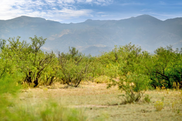
This location provides plenty opportunities to explore the outdoors. Near this private and quiet lot there’s ample access to space and mountains for hiking, biking, ATV riding and sight-seeing. You’d be just a short drive from the Swisshelm Mountains, an infrequently-traveled range that’s perfect for a peaceful hike. At the Swisshelm summit, you gain access to breathtaking views of the Chiricahuas, Dragoons, Miller Peak, and more peaks that stretch into Mexico. With some other great attractions nearby, there’s plenty to appreciate in the area.
Other area attractions include:
Property Information
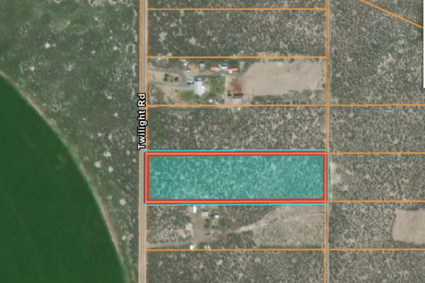
Parcel Size: 2.51 Acres
Elevation: 46299 Ft
State: Arizona
County: Cochise
Nearest Cities: Cochise – 44.8 mi
Parcel #: 403-54-454
Parcel Size: 2.51 Acres
Annual Taxes: $15.68
What is the zoning of the property? Residential District (RU-4)
Terrain type: Level
Is the property buildable? Yes
What can be built on the property? A home and manufactured home. 20 ft setback.
RV’s allowed on the property? Temporary occupancy of one RV in conjunction with a permitted principal use up to six months in a calendar year with a required Temporary Use Permit; stays of 15-consecutive days or less do not require a permit.
Mobile homes allowed on property? Manufactured homes are.
Any setbacks to be followed? 20 ft on every side
Flood zone: No
Water: Would need well or tank water/cistern
Sewer: Would be by septic
Power: Off the grid – Sulphur Springs Valley Electric Co does serve the area
Legal Description: SUN SITES RANCHES UNIT #4 LOT 1055 09-07 LV MAP BOOK
GPS:
31.718444, -109.613356
31.718435, -109.612294
31.717527, -109.612291
31.717531, -109.613348