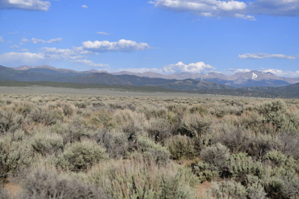
Corner Lot with Beautiful Mountain Views -Assessed at $8K! San Luis, CO
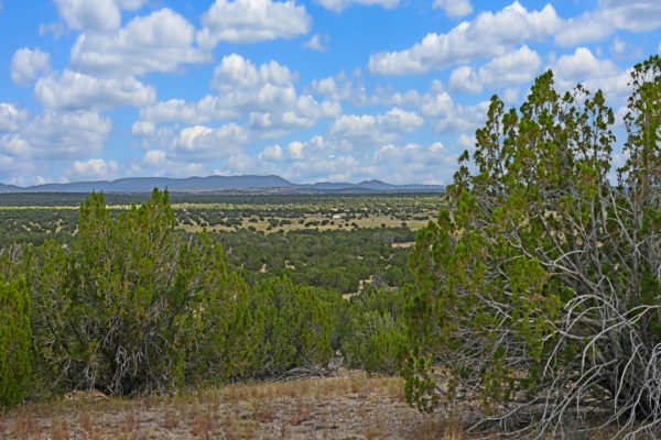
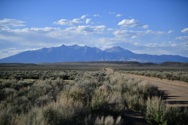
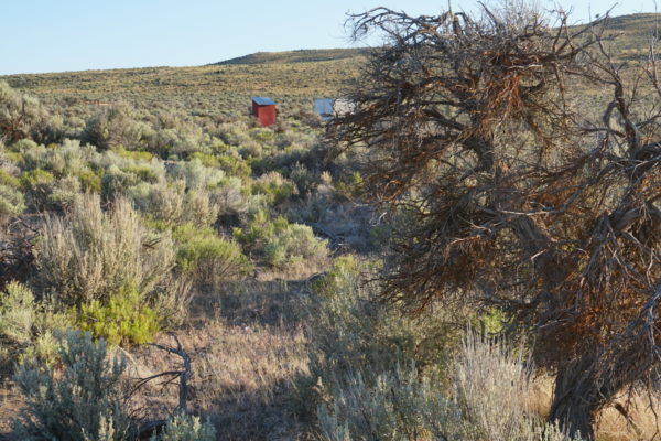
Are you ready to escape crowded urban areas and look at this view every day? Build your cabin here and enjoy the tranquility of nature with beautiful mountain views. Not wanting to build? Manufactured homes are ok! (600 sq ft or bigger, newer than 1976)
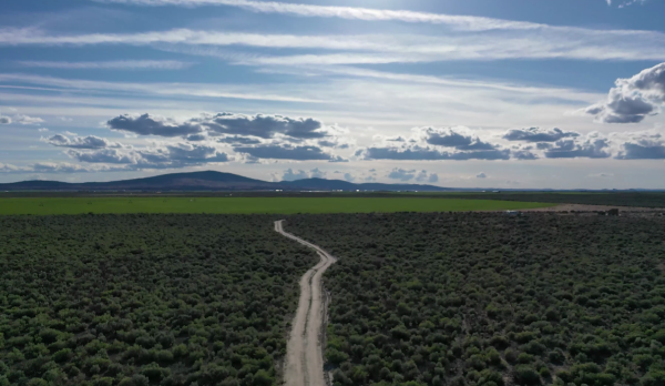
This property is close to Highway 159, just a few miles away from the town of Sanford, CO and minutes from San Luis. Few miles North of the property is the majestic Blanca Peak, the fourth highest summit of the Rocky Mountains an amazing location for camping and hiking.
The Costilla County Assessor values this parcel at $8,007!
Parcel Number: 707-11-440
Size: 4.71 Acres
Zoning: Residential
GPS Coordinates:
- Center Point: 37.2514322409445,-105.459055441839
- NE Corner: 37.2525185672012,-105.45905158858
- SW Corner: 37.2525254588103,-105.460832226009
- NW Corner: 37.2514357767763,-105.460832710798
- SE Corner: 37.2514322409445,-105.459055441839
Power lines: Mobile/Satellite/Alternative
Septic: Septic or Alternative System
Water: Would be by well or Alternative System
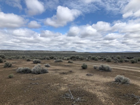
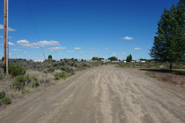
Access: Property can be accessed via Coronado Road.
Flood Zone: No
RV: Long-Term RV Camping Permits are valid for 60 Days (new application must be filed before the expiration date of the permit. $200 fee – septic & water required. Long-term camping SHALL NOT EXCEED 180 DAYS per RV, Person, or Parcel in any 12 month period. RV’s must be inspected by the Planning and Zoning office to ensure all plumbing and electrical is in working order prior to application approval. Sites will be inspected prior to approval. ONLY ONE (1) RV SHALL BE PERMITTED PER PARCEL. 14 days of camping within a 3 month period. $250 fee – good for 90 days at a time while building, renew for up to 18 months.)
Mobile homes: Site built home 600sqft min, manufactured homes are okay.
Taxes: $127.40
Legal Description: S.L.N.E. FILING 1 LOT 475 FR. SCH. 70700130