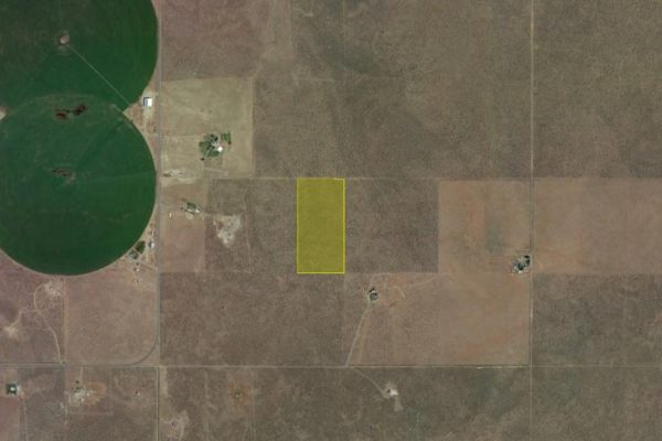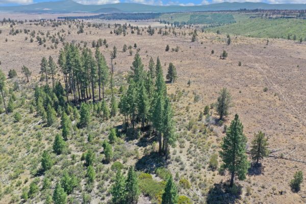
20 Acres on Buffalo Wells Road, Good Water Table, Across the Street from BLM Land!
Imagine your own 20 acres in the Oregon backcountry just a short drive from Christmas Valley. It has access right off of Buffalo Wells Road, which is a good dirt road that connects to CV Highway.
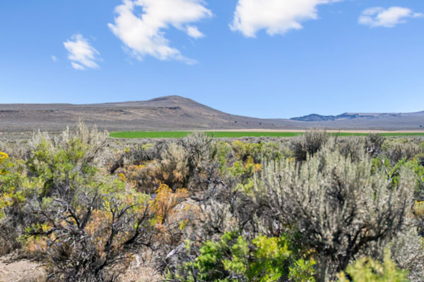
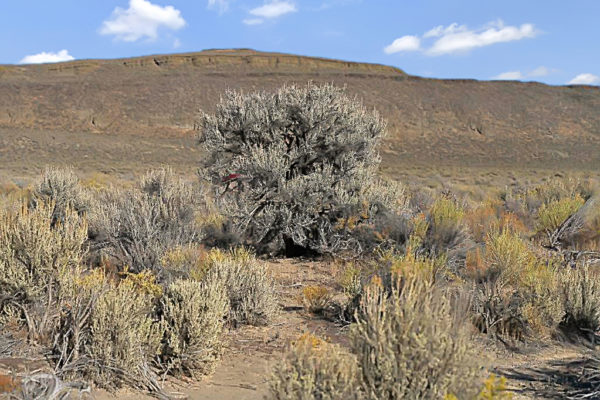
Buying land in CV is like a modern gold rush and this is a very special property. Between the easy access to Christmas Valley, the hundreds of acres of BLM land across the street and the good water table, this land is a great value! Hemp is legal nationwide to grow with proper licensing and this is 20 acres of rich soil to grow! The water table in this area is low, so well water will be prevalent and easier to come by than in other areas. There is farming all around and the land is directly across from BLM land, which means no development across the street from you!
Whether your a Desert Homesteader or looking to grow Marijuana in perfect conditions, this is your Total privacy, 20 miles outside of town, and close to LA Pine & Bend Lots of water, power nearby, and a true Wild West Feel. d
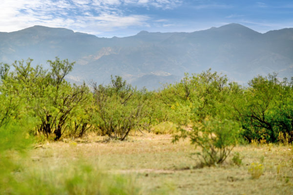
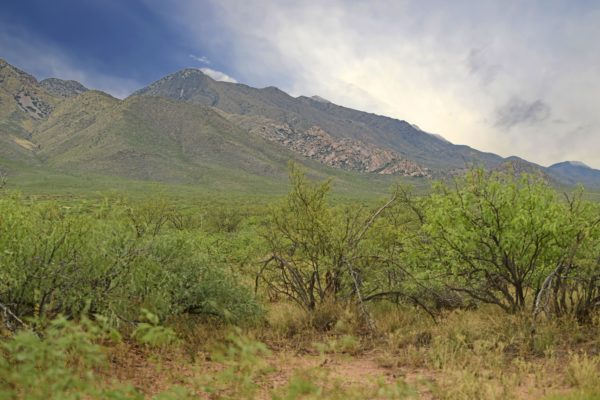
Christmas Valley is home to over 1,800 full time residents and that number increases daily. Just 30 minutes from town, this property offers the best of Christmas Valley living. This parcel provides access to almost endless hunting, fishing, and OHV opportunities. Build your home here with a Conditional Use Permit (CUP), and have all that Oregon’s High Desert has to offer right at your fingertips.
A Link to the Type II CUP can be found here: https://www.lakecountyor.org/government/docs/TYPE_II_CUP_APP.pdf
Property is only 30 minutes (20 miles) from Christmas Valley, where you can shop for your necessities. In town, you will find:
- Chevron (gas station)
- Fuel Commander Cardlock (gas station)
- Sagewood Grocery
- Gifts-n-more (restaurant)
- Cardtronics ATM
- The Trail Café
- Handse Pump & Electric (garden center)
- Robbins Equipment (Farm equipment supplier)
Are you a fan of golf? Christmas Valley Golf Course is nearby! The course has 3 sets of tees and challenging play for golfers for different skill levels. Enjoy fantastic views and well-groomed fairways.
Swimming and fishing? Baert Lake in Christmas Valley is open from Spring through Fall for fishing, swimming and boating. Ice Skating is available in the winter season!
A few miles away is the Summer Lake Wildlife Area, a refuge and breeding area of waterfowl, geese and swans and other water birds. Outdoor activities such as camping, picnicking, wildlife viewing and hunting are available. Stop by and relax at Summer Lake Hot Springs.
Nearby Fossil Lake is the #2 spot in all of North America for plant and animal fossils!
Nearby attractions:
- Sand Dunes = 45 minutes
- Summer Lake Wildlife Area = 1 Hour
- Fossil Lake = 30 minutes
Approx. Travel Time:
- Bend, OR = 2 1/2 hours
- Portland, OR = 5-6 hours
- Boise, ID = 5-6 hours
Parcel Number: 2402
Size: 20.00
Yearly Taxes: $100.11 (Current)
Zoning: A-2 Agricultural Use. It would require a Type II Conditional Use Permit to have a home built.
Mobile Homes: Mobile Homes are allowed if permitted through a Land Use process for the establishment of a dwelling, and after septic and building permits. It can be permanent placement if qualifying as a manufactured home through the building department.
RV: Yes. RV’s are allowed when camping, but should not be left on the property if you are not there. Can be used without a permit for short periods of time – 7 days out of 30. Longer periods require a permit.
Sewer: Would be by septic.
Water: Would be by well.
Electricity: Power poles are not in the area.
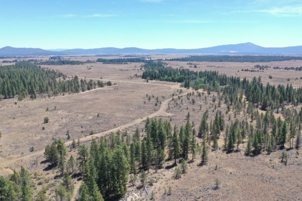
Terrain: Property is gently rolling.
Road Access:Property can be accessed directly via Buffalo Wells Road.
Flood Zone: No
HOA: No HOA
Complete Legal Desc:Township 26 South, Range 20 East of the Willamette Meridian, Lake County, Oregon. Section 29: N1/2 SE1/4 NE1/4
GPS Coordinates:
Center: 43.291197, -120.338390
NW: 43.292149, -120.340890
NE: 43.292149, -120.335898
SW: 43.290322, -120.340903
SE: 43.290324, -120.335913