2.43-Acre Corner Property Near Town with Power / Water
***Seller Financing available–No Credit / Employment Checks–MOBILE HOMES / MANUFACTURED HOMES ALLOWED!***
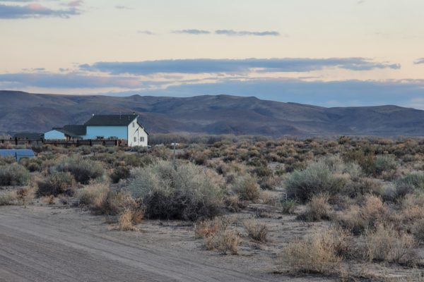
This area is very popular and lots sell fast so put your mark on this one and call today. Power and water access.
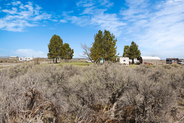
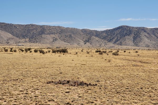
This 2.43-acre lot (Lot 46) is a great home site located a few miles west of Christmas Valley, Oregon. This lot is just south of Christmas Valley Highway, located in a more developed area with great mountain views from the property. You can see Table Rock (The town mesa), and other mountain ranges as well. This would be an ideal building lot as this lot is gently rolling.
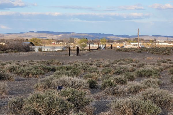
Great corner lot. Property can be accessed via County Hwy 9-02 on the South and County Hwy 9-13 on the East. Power is just across the street. Water is within the Christmas Valley Water District and would be available through the city by contacting the Christmas Valley Water District (541-576-2090). New owner will need to connect to power and city water. A septic tank will need to be installed to be able to put in a home.
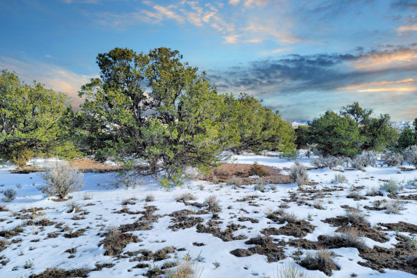
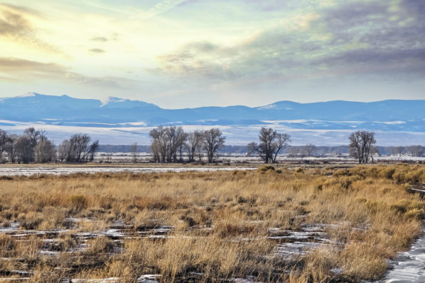
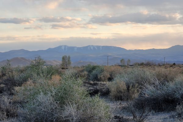
Christmas Valley is a popular area. Get away from the hustle bustle of City life and enjoy this quiet farming community and all the amenities it offers. Enjoy the panoramic mountain views, the beautiful desert sunsets, Go to the park or enjoy a round of golf. Take the ATV’s and go for a fun filled day at the huge sand dunes or enjoy touring the Geographical site of Crack in the ground, Hole in the Ground or the Lost Forest. A short distance away you can enjoy fishing or Hot Springs. Something for everyone. This is a lost hidden gem in the Oregon outback.
Enjoy the desert sunsets or spend the day golfing or take the ATV’s to the famous sand dunes for fun in the sun. Here are activities for all ages.
ATV enthusiasts will LOVE the nearby Christmas Valley Sand Dunes, and take a hike and find the many cave drawings, artifacts and other ancient history that is located all around Christmas Valley.
In the townsite of Christmas Valley There are two grocery stores, two motels, four restaurants, and a gas station. Also nearby are an eighteen-hole golf course, Christmas Valley Airport, and Rodeo Grounds
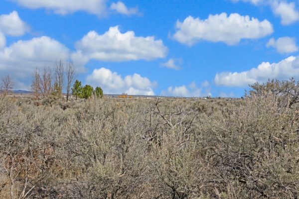
From the property, hike and enjoy the enormous range of wildlife! Rare birds and animals like bald and golden eagles, peregrine falcons, owls, hawks, sandhill cranes, game birds, and migratory songbirds visit the area. You may even spot pronghorn, elk, and deer!
Don’t wait. Act now!
If buying on terms, the minimum down payment for this property is $4279 with monthly payments starting at $273/mo. Ask us how we can customize your payment plan to work for you!
Climate:
This region experiences hot and dry summers, with yearly average temp of 71 degrees F. Hot summer days (90 F) are contrasted by nights that dip into the teens. The average winter low is 19 F and high 37 F. The low winter record is -20F.
For your convenience we have added some informative links so that you can familiarize yourself with all that Lake County has to offer and county office links if you need additional property use information that we cannot answer. *Note: Of the links are not clickable, simply copy and paste into your browser.
Lake County Examiner (Newspaper)
http://www.lakecountyexam.com/editions/hunting_fishing_guide/hunting-fishing/html_862bacb0-0b8d-11e8-9d04-cf082c725207.html
Lake County Government Office: (Land use, Assessor, Treasurer, etc)
http://www.lakecountyor.org/government/online_payments.php
Oregon Department of Fish and Wildlife
https://myodfw.com/articles/hunting-private-lands-access-habitat-program
Lake County Fishing
http://www.oregonsoutback.com/todo/fishing/index.html
About Christmas Valley
https://en.wikipedia.org/wiki/Christmas_Valley,_Oregon
About Christmas Valley Sand Dunes
https://en.wikipedia.org/wiki/Christmas_Valley_Sand_Dunes
PROPERTY DETAILS:
Prop ID: 5934
Size of Lot (or LOT AREA): 105,851 sq. ft. sq. ft.
Acreage Size: 2.43 acres
Property Address: N/A, near County Hwy 9-02, Silver Lake, OR 97638
Tax Assessment Year: 2020 (Current)
Yearly Taxes: $98.37
Zone Type: R-1 Rural Residential. Outright permitted by land use for the establishment of a single-family dwelling. Proceed with Building and Septic Permits, then apply for an address.
Mobile Homes: Mobile homes would require a permit.
RV: These are not camping lots but are for residential use in approved housing. But occasionally Camping and RV’s are allowed for short periods of time, but not more than 7 out of 30 days for a guest of the owners. You cannot live on the property in an RV, and camping is only supposed to be for short periods like a weekend here or there.
Sewer: Septic can be installed.
Water: Property is within the area served by Christmas Valley Domestic Water District. Not all of the properties may have tabs on site, but they should be close to community water.
Electricity: Nearest power post is about 3 feet away from the property.
Terrain: Property is gently rolling.
Road Access: Property can be accessed via County Hwy 9-02 on the South and County Hwy 9-13 on the East.
Flood Zone: No flood zone data available.
HOA Past Due: No HOA/POA.
Abbreviated Legal Description: SECTION 17 TOWNSHIP 27S RANGE 17E QUARTER A PRCL 4900 MAPTAX LOT: 27S17E17A0490000
Complete Legal Description: Lot 46 in Block 1 of CHRISTMAS VALLEY TOWNSITE, UNIT NO. 5, a subdivision of N1/2, SW1/4, NE1/4SE1/4 and W1/2SE1/4 of Section 17, Township 27 South, Range 17 East of the Willamete Meridian.
GPS Coordinates:
Center: 43.230902, -120.722089
NW: 43.231148, -120.723252
NE: 43.231144, -120.720884
SW: 43.230682, -120.723250
SE: 43.230676, -120.720889