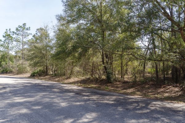
2.6 acres in Hornbrook, CA
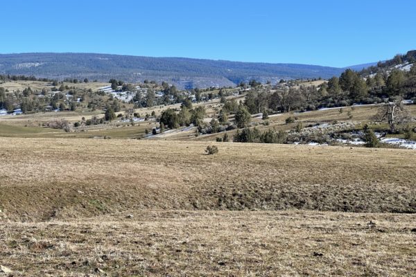
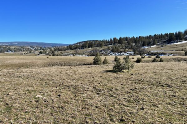
This wonderful 2.6 acre lot in Iron Gate Lake Estates is bursting with potential. Ready for a vacation or year-round home, this lot gives plenty of space with direct road access for convenience. This property is located in Northern California, about 30 minutes to the Oregon/California border and just over three hours to the West Coast beaches in Crescent City.
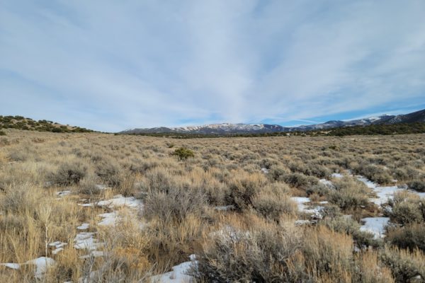
As the fifth largest county in California by area, Siskiyou County features spectacular natural beauty and scenic cities and towns including Yreka–the County Seat, Mt. Shasta, Weed, Dunsmuir, McCloud and Tulelake as well as Butte Valley, Scott Valley, Shasta Valley and the Klamath River Corridor.
Ready to check it out? Contact us today!
Prop ID: |
102-041-230 |
Size of Lot (or LOT AREA): |
113,256 sq. ft. |
Acreage Size: |
2.6 ac |
Tax Assessment Year: |
2021 |
Yearly Taxes: |
$43.32 |
Zone Type: |
AG-2-B |
Mobile Homes: |
A mobile home is allowed when placed upon a foundation system. One mobile home per building site in lieu of a single-family dwelling |
RV: |
Camping on private property in RV or other shelter is only allowed by permit. Permits allow for up to 15 consecutive days. Permit may be renewed to camp more than once per year, not to exceed 30 days per calendar year. When a property owner has an active building permit for construction or placement of a dwelling on their property, and providing such use is not prohibited by deed restrictions, such property owner may live in a recreational vehicle, connected to the required and property permitted utilities, for a period not to exceed two (2) years from the date the building permit was issued. |
Sewer: |
Would need a Septic. Contact the Environmental Health Department for more information. |
Water: |
Would need a Well. Contact the Environmental Health Department for more information.. |
Electricity: |
Nearest power post is about 0.10 miles away from the lot. |
Terrain: |
Property is gently sloped. |
Road Access: |
Property can be accessed via Mountain Ave. and Lake Rd. |
Flood Zone: |
Not in a floodzone area. |
HOA Information: |
Iron Gate Lake Estates collects $160.00/year. |
Legal Description: |
UNIT 1 LOT 73 IRON GATE LAKE EST |
GPS Coordinates: |
|
Center: |
41.952252, -122.448733 |
NW: |
41.952770, -122.449103 |
NE: |
41.952420, -122.447687 |
SW: |
41.952093, -122.449587 |
SE: |
41.952055, -122.447631 |