Beautiful Crestone Colorado 2Acres
This Land is associated with 4 contiguous Lots, but you can get these separately or by Pairs.
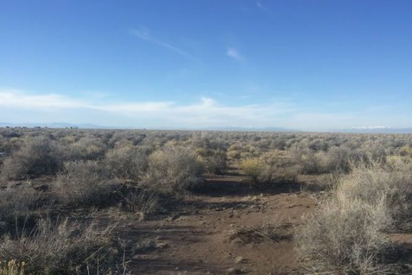
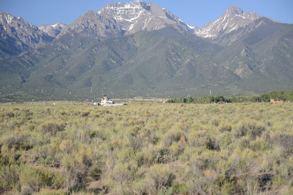
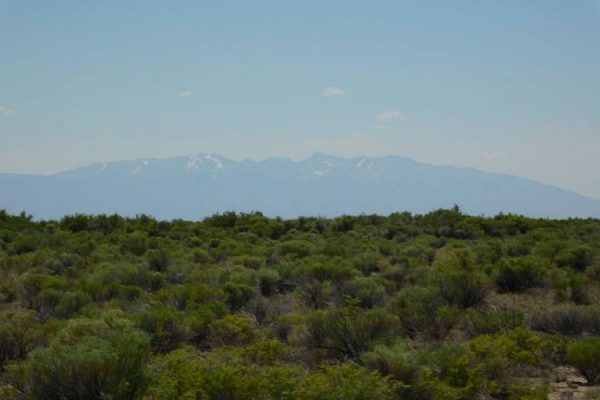
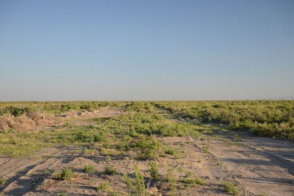
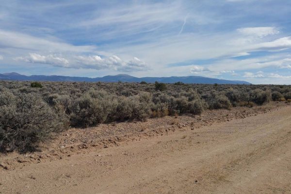
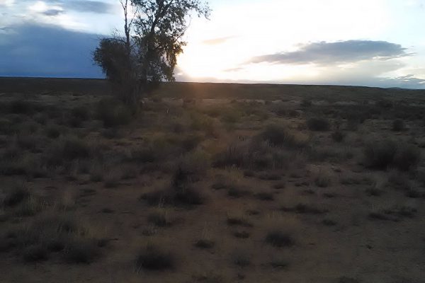
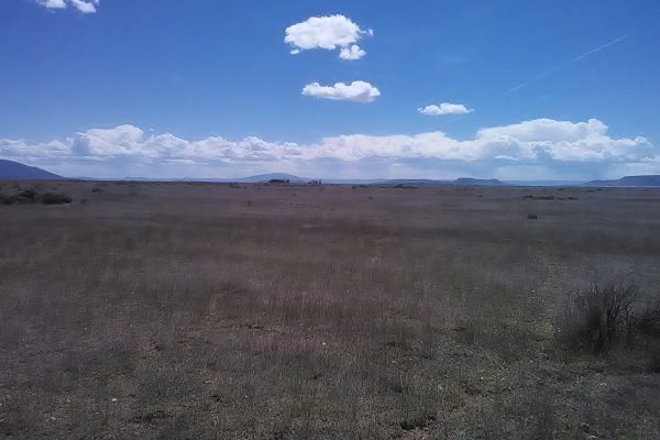
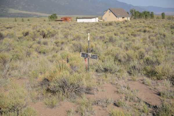
Imagine building your dream cabin/vacation home only a short drive from Colorado Springs and Denver. Just next to Crestone, Baca Grande is a beautiful subdivision at the base of the Sangre de Cristo Mountain range. With 300 days of annual sunshine and very mild climate, even in the winter, give yourself a quaint little retreat. Whether to re-charge spiritually or enjoy what nature has to offer in the way of hiking, biking, fishing, birding and playing at the Sand Dunes.
Four contiguous lots being sold as a package. Each lot is buildable and will qualify for an in-house use well permit. Close to Spanish Creek Greenbelt and not far from Willow Creek and greenbelt. All lots together are 7.3 acres. The property is located in a covenanted subdivision where alternative construction, off-grid, and owner-build is common and welcome, though regulated through the Property Owners’ Association. Horses allowed, also other animals. Many interesting people doing interesting things. Minimum 900 square feet for the residence, no temporary dwellings/yurts allowed. The property requires the installation of well and septic tank. The Crestone/Baca community has hiking, local and organic food suppliers, alternative building technologies, and is a world center for spiritual inquiry. Apply for an in-house well permit through the Colorado Div. of Water. Resources.
If you have any questions or would like further information about the Baca Grande community you can visit www.bacapoa.org or contact 719-256-4171.
* We purchased these lots with Title Insurance!
Cash price: $1,997 per parcel with an additional 10% discount if they purchase multiple parcels or $7,797.00 for all four parcels.
Seller financing: $0 Downpayment, $99 per month for 48 months in a single parcel. *For multiple parcels we can customize a solution.
Conveyance Document: Special Warranty Deed
Power: Electricity at street, or solar/alternative
Type of Terrain: Flat/Level
Property Tax: $96.64
POA (Property Owners Association) Assessment fee: $339.00