Contact Seller
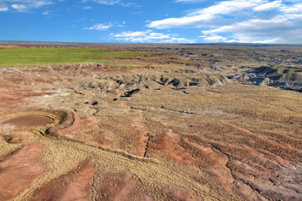
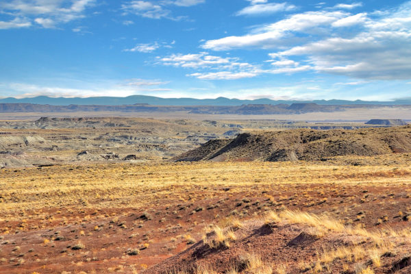
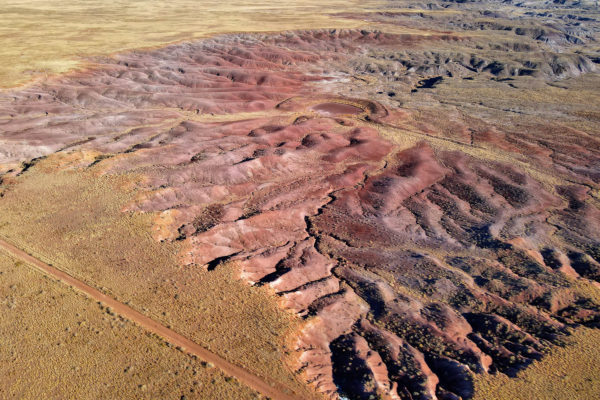
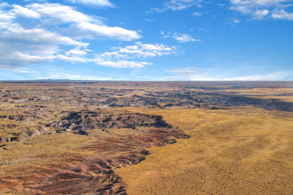
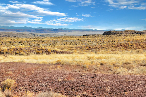
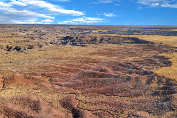
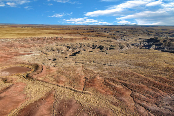
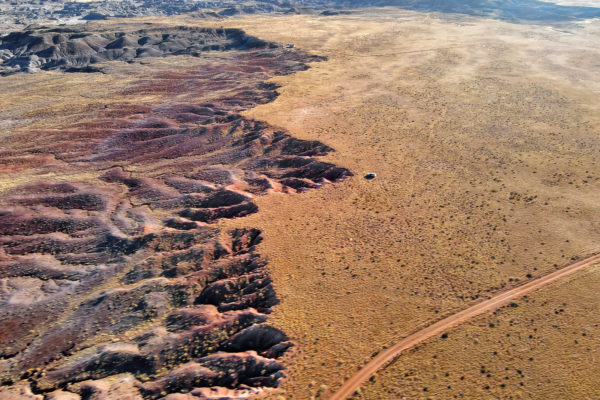
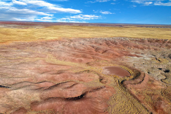
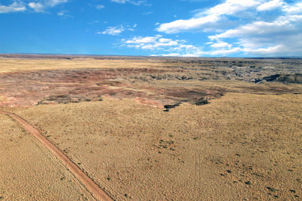
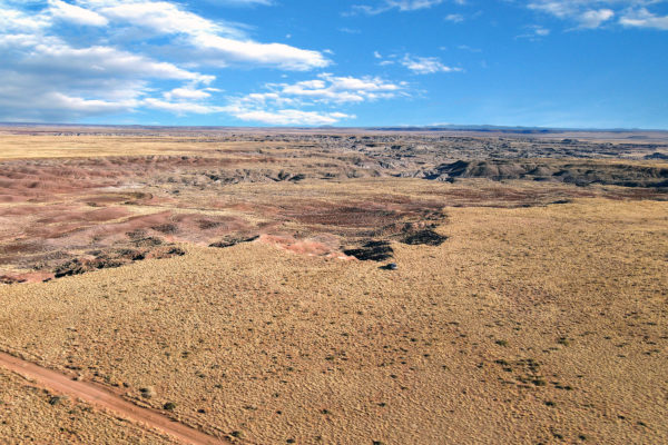
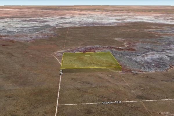
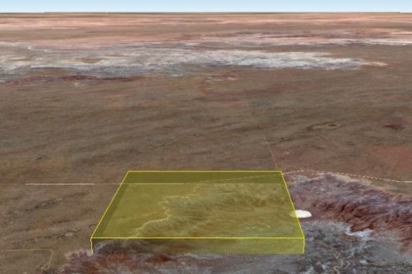
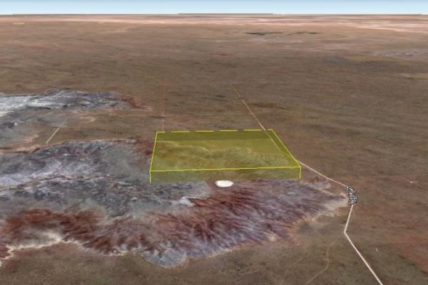
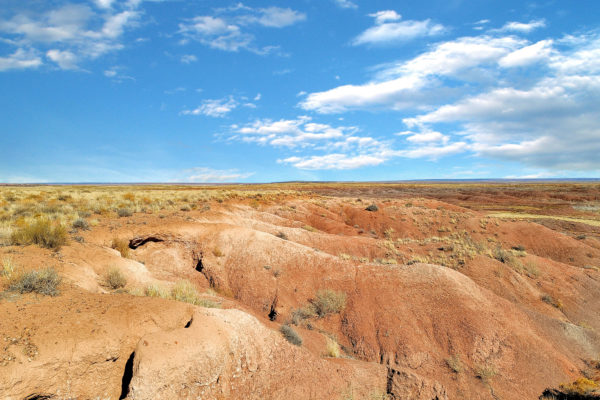
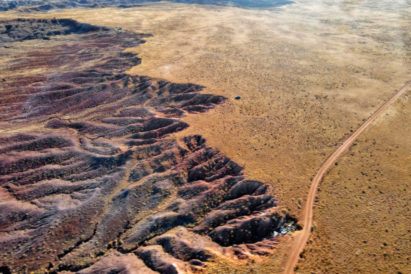
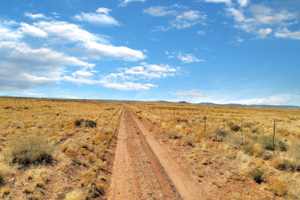
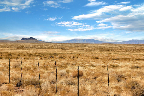
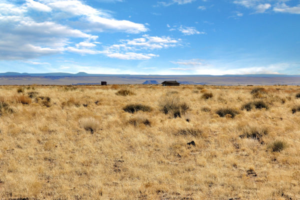
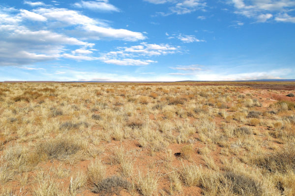
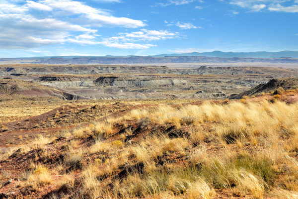
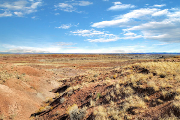
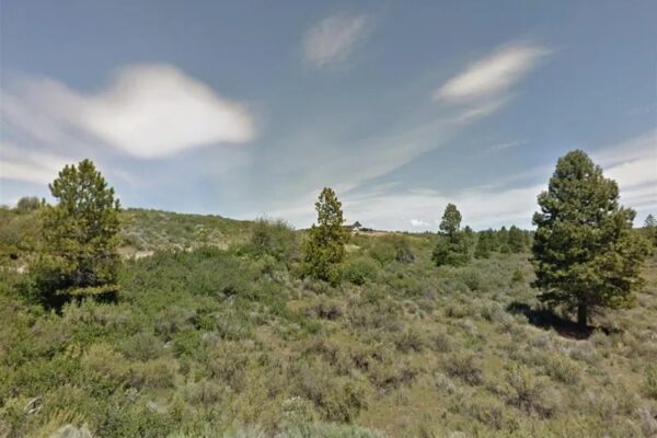
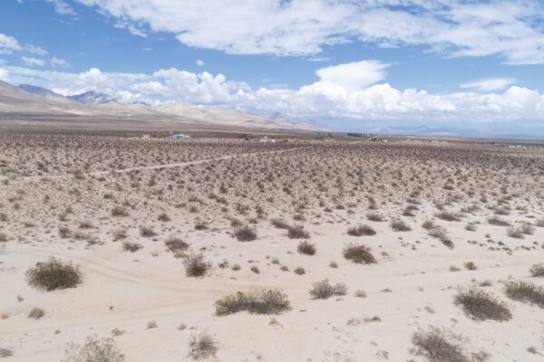
Owning your piece of the wide-open East has never been so easy! Great 39.96-acre parcel of land with unblocked views, wide, deserted off-grid, approximately 19.2 miles northeast of Sun Valley, close proximity to Holbrook, Chambers and Joseph City, yet you have all the privacy of a country estate. Bring your horses here and let them wander the entire place.
Get a little sunshine and head yourself to Petrified National Forest about 26.2 miles south of the property known for its fossils, especially fallen trees that lived in the Late Triassic Epoch, about 225 million years ago. Enjoy the finest beauty in a gorgeous mountain community while enjoying nature, social settings and breathtaking views anywhere.
What are you waiting for? Give us a ring and let’s talk!
Parcel Number: 106-57-001
Size: 39.96 acres
Zoning: A-General
Power: Mobile/Satellite/Alternative
Septic: Septic can be installed.
Water: Can drill a well for water/Alternative
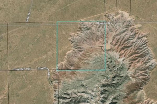
Access: Property can be accessed via Huggins Rd. Property borders a State Land on the Eastern portion.
RV: RV is allowed one time each calendar year for a period not to exceed 30 consecutive days. RVs are not allowed as a permanent dwelling and must comply with camping restrictions. The RV must be hooked up to an approved septic system or sanitary sewer upon placement. No power or water will be green tagged by the County for an RV. Temporary RV Permits can be issued while building a home.
Mobile homes: Manufactured homes are permissible according to County development standards.
Minimum Home Size Required: Technically, there is no minimum home size, provided the home can meet the standards of the 2015 International Building Code and 2015 International Residential Code.
Taxes: $58.96
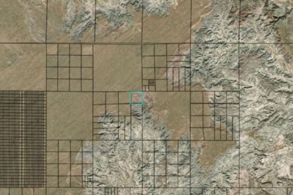
Legal Description: Section 7, T19N, R23E:Ne4 Ne4 Aka: Tract 49, Sun Country Ranches #6 Per Survey 3-97
Complete Legal Desc: Tract No. 49 in Section 7 Township 19 North, Range 23 East of the Gila and Salt River Base and Meridian, Navajo County, Arizona according to the Survey Plat recorded in Book 3 of Survey Maps Page 97 in office of County Recorder. EXCEPT all coal, oil, gas and minerals already found or which may be found or under said land.
GPS Coordinates
Center: 35.067620, -109.935350
NW Corner: 35.069475, -109.937691
SW Corner: 35.065812, -109.937710
SE Corner: 35.065827, -109.933336
NE Corner: 35.069502, -109.933320
Property Location
Property Location
Discounted Cash Pricing
Cash Price: $29,000
Doc & Reservation Fee: $0
Total: $29,000
Deposit Amount: $1
Terms Pricing
Terms Price: $40,000
Down Payment: $6,000
Interest Rate: 12%
Monthly Payment: $426
Montly Loan Fee : $20
Total Term months : 48
Property Location
Property Details
Size (Acres)
5.54
Best Attribute
Wide Open Space
APN or Other ID
70235760
Legal Description
LOT 1704, BLOCK 113, SANGRE DE CRISTO RANCHES, UNIT J, COSTILLA COUNTY, COLORADO
Approximate GPS Coordinates
37.364998, -105.342107
Property Size
Rural Land
Zoning
Estate – Residential
General Elevation (in feet)
8554
Power
Would be alternative power source.
HOA/POA
SDCR – Membership is optional for $25/year
Water
Well Can Be Drilled
Sewer
Septic can be installed
Roads
Dirt Road
Terrain
Property on rolling hills
Title Info
Clear Title
Annual Property Taxes (Approx)
$115.64
Related Properties
Contact Seller
Owning your piece of the wide-open East has never been so easy! Great 39.96-acre parcel of land with unblocked views, wide, deserted off-grid, approximately 19.2 miles northeast of Sun Valley, close proximity to Holbrook, Chambers and Joseph City, yet you have all the privacy of a country estate. Bring your horses here and let them wander the entire place.
Get a little sunshine and head yourself to Petrified National Forest about 26.2 miles south of the property known for its fossils, especially fallen trees that lived in the Late Triassic Epoch, about 225 million years ago. Enjoy the finest beauty in a gorgeous mountain community while enjoying nature, social settings and breathtaking views anywhere.
What are you waiting for? Give us a ring and let’s talk!
Parcel Number: 106-57-001
Size: 39.96 acres
Zoning: A-General
Power: Mobile/Satellite/Alternative
Septic: Septic can be installed.
Water: Can drill a well for water/Alternative
Access: Property can be accessed via Huggins Rd. Property borders a State Land on the Eastern portion.
RV: RV is allowed one time each calendar year for a period not to exceed 30 consecutive days. RVs are not allowed as a permanent dwelling and must comply with camping restrictions. The RV must be hooked up to an approved septic system or sanitary sewer upon placement. No power or water will be green tagged by the County for an RV. Temporary RV Permits can be issued while building a home.
Mobile homes: Manufactured homes are permissible according to County development standards.
Minimum Home Size Required: Technically, there is no minimum home size, provided the home can meet the standards of the 2015 International Building Code and 2015 International Residential Code.
Taxes: $58.96
Legal Description: Section 7, T19N, R23E:Ne4 Ne4 Aka: Tract 49, Sun Country Ranches #6 Per Survey 3-97
Complete Legal Desc: Tract No. 49 in Section 7 Township 19 North, Range 23 East of the Gila and Salt River Base and Meridian, Navajo County, Arizona according to the Survey Plat recorded in Book 3 of Survey Maps Page 97 in office of County Recorder. EXCEPT all coal, oil, gas and minerals already found or which may be found or under said land.
GPS Coordinates
Center: 35.067620, -109.935350
NW Corner: 35.069475, -109.937691
SW Corner: 35.065812, -109.937710
SE Corner: 35.065827, -109.933336
NE Corner: 35.069502, -109.933320
Property Location
Property Location
Discounted Cash Pricing
Cash Price: $29,000
Doc & Reservation Fee: $0
Total: $29,000
Deposit Amount: $1
Terms Pricing
Terms Price: $40,000
Down Payment: $6,000
Interest Rate: 12%
Monthly Payment: $426
Montly Loan Fee : $20
Total Term months : 48

