Contact Seller
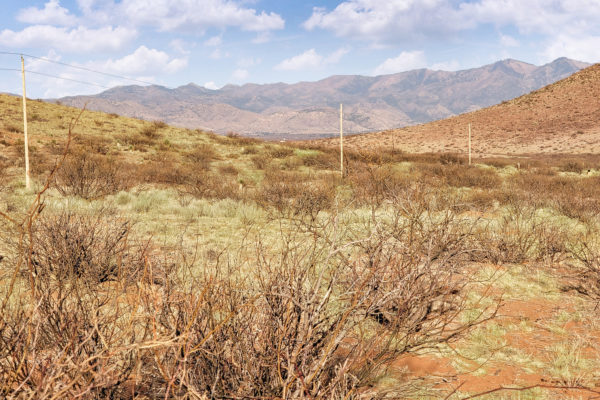
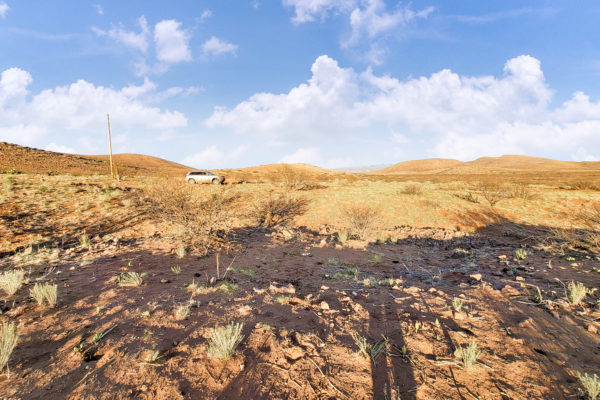
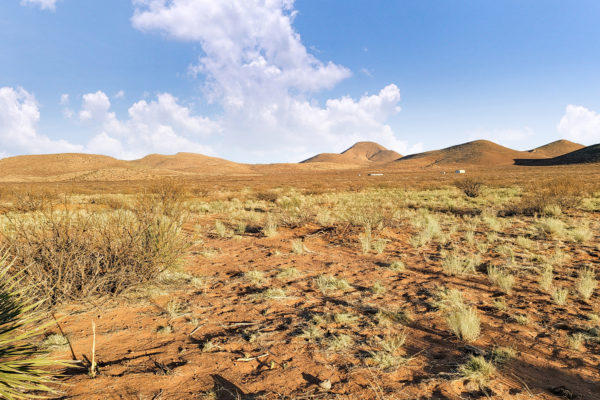
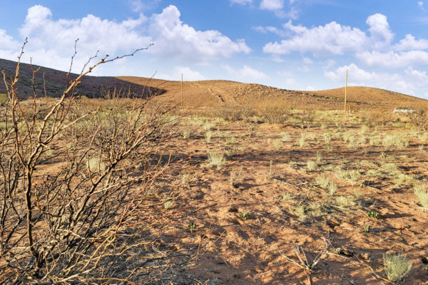
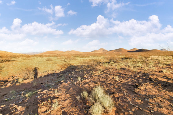
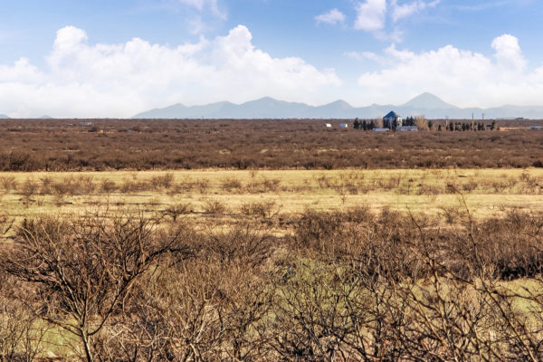
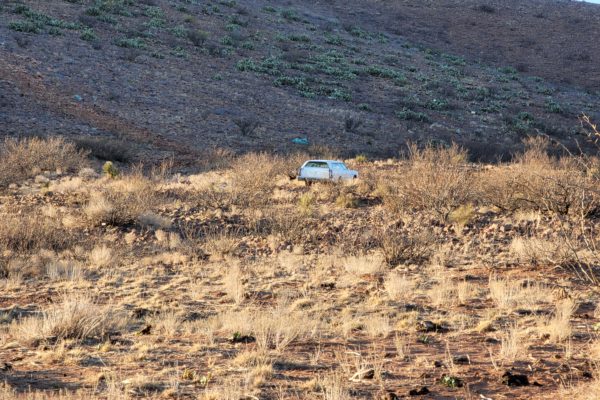
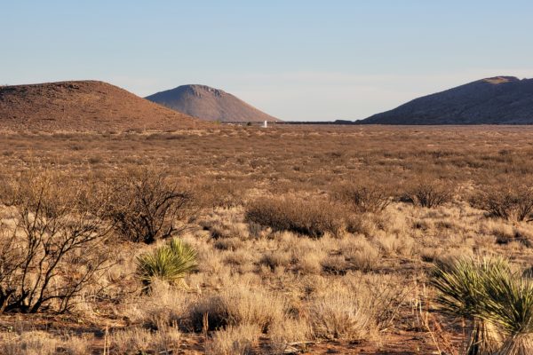
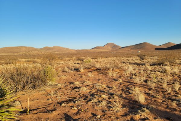
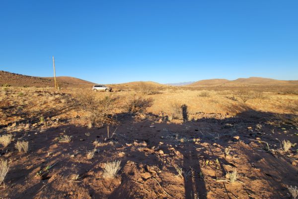
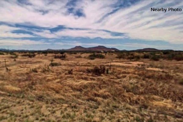
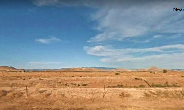
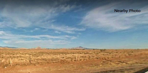
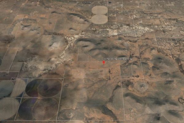
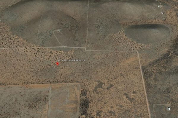
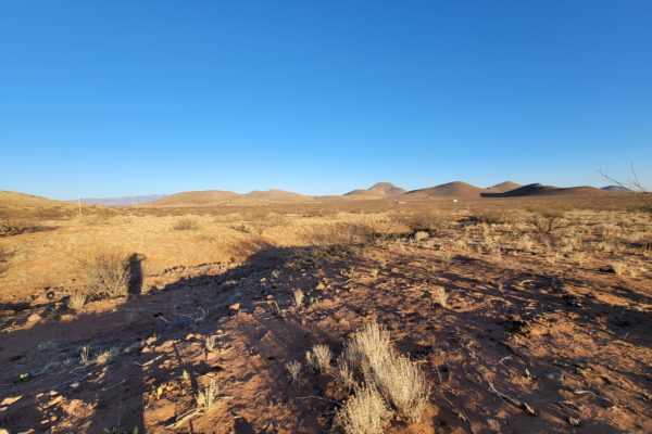
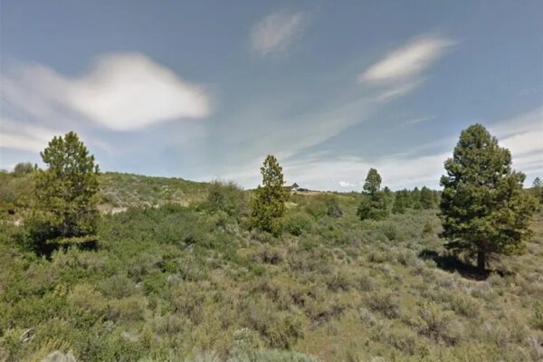
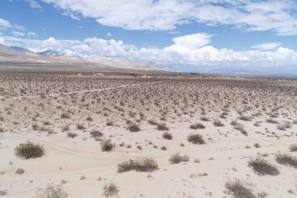
Beautiful, level lot with mountain views in every direction on these 39.22 acres. Great off the grid property in the High Desert property! Mild temps, Gorgeous Sunsets are yours! Just 4.6 miles off of State Route 181, these acres are awaiting your vision! They would be perfect for a ranch! Country, serene living at its finest!
This beautiful oasis is nestled 27 minutes north of downtown Elfrida, AZ only about 39 minutes west of Chiricahua National Monument and 6.6 miles south of Sunizona. The views are beautiful on this acreage, superior sunrises, startling sunsets and star swirled nights! Start your off-grid adventures today!
What are you waiting for? Call us today to learn more!
Prop ID: 401-63-003
Size of Lot (or LOT AREA): 1,708,423 sq. ft.
Acreage Size: 39.2 acres
Property Address: Pearce, AZ 85625
Yearly Taxes: $370.96
Zone Type: RU-4 – One Dwelling per 4 acres, 20 ft setbacks
Mobile Homes: Mobile homes are allowed.
RV: Allowed for ownership. Can occupy during construction w/ permit
Sewer: Would need septic. Need soil/perc tests. No previous tests on file.
Water: Would need well or hauled. Can find private well driller online
Electricity: overhead lines 665 ft from center coordinates on Lavender Rd at N property line -Will need to call engineering and set up for review to get pricing/deposit info
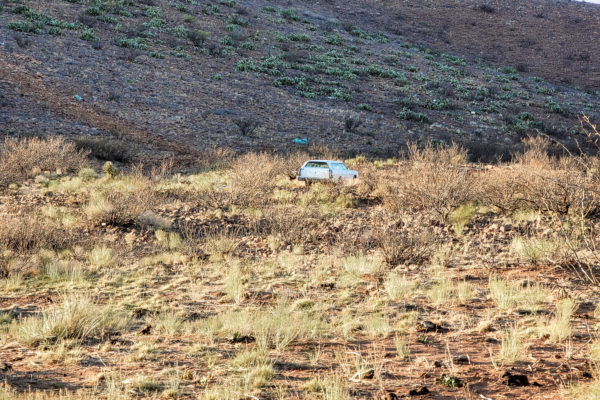
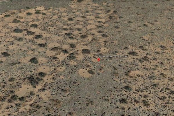
Terrain: some slopes per topo
Road Access: E Lavender Rd-Not maintained by county. Confirmed public road.
Flood Zone: Not in a flood zone.
HOA Past Due: No HOA/POA listed in deed. Check neighboring lots for sale online and they say no hoa/poa and no subdivision restrictions
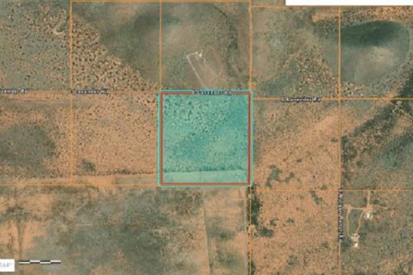
Abbreviated Legal Description:REPORT OF SURVEY BK 2 PG 69 ASH CREEK RANCH LOT 198 NESE SEC 25 18 26 39.22AC
Complete Legal Description: PARCEL 198, of a record of Survey of Section 25, Township 18 South, Range 26 East of the Gila and Salt River Base and Meridian, Cochise County, Arizona, as shown in Book 2 of Land Surveys at Page 69, Cochise County Records.
GPS Coordinates:
Center: 31.8384, -109.6464
NW: 31.8401, -109.6485
NE: 31.8401, -109.6443
SW: 31.8365, -109.6485
SE: 31.8365, -109.6443
Property Location
Property Location
Discounted Cash Pricing
Cash Price: $26,999
Doc & Reservation Fee: $199
Total: $27,198
Deposit Amount: $0
Terms Pricing
Terms Price: $32,999
Down Payment: $8,250
Interest Rate: 12%
Monthly Payment: $577
Montly Loan Fee : $20
Total Term months : 52
Property Location
Property Details
Size (Acres)
5.54
Best Attribute
Wide Open Space
APN or Other ID
70235760
Legal Description
LOT 1704, BLOCK 113, SANGRE DE CRISTO RANCHES, UNIT J, COSTILLA COUNTY, COLORADO
Approximate GPS Coordinates
37.364998, -105.342107
Property Size
Rural Land
Zoning
Estate – Residential
General Elevation (in feet)
8554
Power
Would be alternative power source.
HOA/POA
SDCR – Membership is optional for $25/year
Water
Well Can Be Drilled
Sewer
Septic can be installed
Roads
Dirt Road
Terrain
Property on rolling hills
Title Info
Clear Title
Annual Property Taxes (Approx)
$115.64
Related Properties
Contact Seller
Beautiful, level lot with mountain views in every direction on these 39.22 acres. Great off the grid property in the High Desert property! Mild temps, Gorgeous Sunsets are yours! Just 4.6 miles off of State Route 181, these acres are awaiting your vision! They would be perfect for a ranch! Country, serene living at its finest!
This beautiful oasis is nestled 27 minutes north of downtown Elfrida, AZ only about 39 minutes west of Chiricahua National Monument and 6.6 miles south of Sunizona. The views are beautiful on this acreage, superior sunrises, startling sunsets and star swirled nights! Start your off-grid adventures today!
What are you waiting for? Call us today to learn more!
Prop ID: 401-63-003
Size of Lot (or LOT AREA): 1,708,423 sq. ft.
Acreage Size: 39.2 acres
Property Address: Pearce, AZ 85625
Yearly Taxes: $370.96
Zone Type: RU-4 – One Dwelling per 4 acres, 20 ft setbacks
Mobile Homes: Mobile homes are allowed.
RV: Allowed for ownership. Can occupy during construction w/ permit
Sewer: Would need septic. Need soil/perc tests. No previous tests on file.
Water: Would need well or hauled. Can find private well driller online
Electricity: overhead lines 665 ft from center coordinates on Lavender Rd at N property line -Will need to call engineering and set up for review to get pricing/deposit info
Terrain: some slopes per topo
Road Access: E Lavender Rd-Not maintained by county. Confirmed public road.
Flood Zone: Not in a flood zone.
HOA Past Due: No HOA/POA listed in deed. Check neighboring lots for sale online and they say no hoa/poa and no subdivision restrictions
Abbreviated Legal Description:REPORT OF SURVEY BK 2 PG 69 ASH CREEK RANCH LOT 198 NESE SEC 25 18 26 39.22AC
Complete Legal Description: PARCEL 198, of a record of Survey of Section 25, Township 18 South, Range 26 East of the Gila and Salt River Base and Meridian, Cochise County, Arizona, as shown in Book 2 of Land Surveys at Page 69, Cochise County Records.
GPS Coordinates:
Center: 31.8384, -109.6464
NW: 31.8401, -109.6485
NE: 31.8401, -109.6443
SW: 31.8365, -109.6485
SE: 31.8365, -109.6443
Property Location
Property Location
Discounted Cash Pricing
Cash Price: $26,999
Doc & Reservation Fee: $199
Total: $27,198
Deposit Amount: $0
Terms Pricing
Terms Price: $32,999
Down Payment: $8,250
Interest Rate: 12%
Monthly Payment: $577
Montly Loan Fee : $20
Total Term months : 52

