Contact Seller
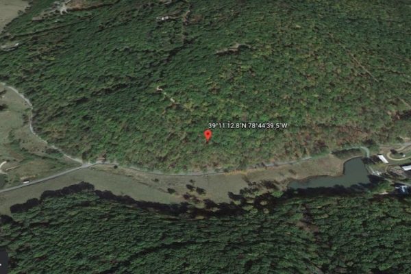
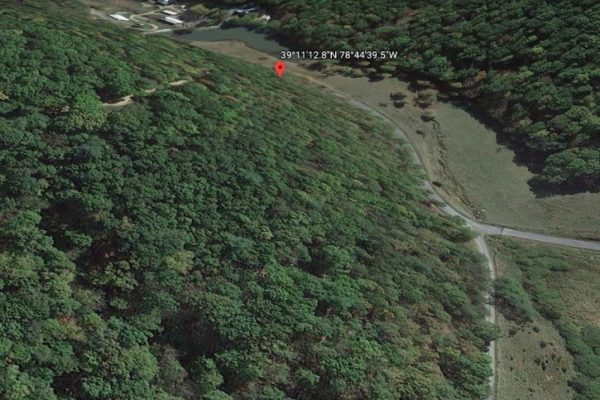
Some place are meant to be, and yes, this 9.49-acre is a must-invest oasis that you deserve in Hampshire County, West Virginia. Sitting 3 minutes outside of Kirby, easily accessible both via Briar Lick and Katybug Ln which guarantees a generous open space, quick and easy road access. If you want more of the country feels and scenic trails, a good 13-minute drive up the mountains will take you to the breathtaking Short Mountain Wildlife.
This lot’s pristine location gives you that much-sought privacy that you won’t get anywhere in hustling and bustling city streets! This parcel offers unique outings, beautiful nature and a chance to disconnect and relax as you explore this amazing paradise. Slow down, step back in time, and enjoy simpler pleasures as you reconnect with family, friends, and nature.
Call us today for this offer!
Parcel Number: 9-20-58
Size: 9.49 acres
Property Address: Katybug Lane, Rio, WV 26755
Zoning: No zoning for Hampshire county per planning dept. No setback for county, just need to follow if any for electric, etc or any subdivision info. Home must meet 2015 International Residential Code requirements
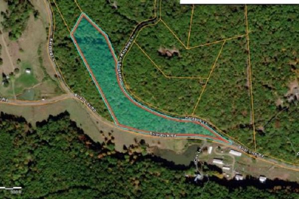
Power: There looks to be overhead lines at SE corner of lot and Also corner at Briar Lick and Katybug intersection towards center/NW area of lot. Per electric co, would use briar lick access. Call to set up meter and get pricing eval/site eval
Septic: Septic.No records per county on this lot. Installer must be certified by state. Permit approval/received required before building permits will be issued. Soil/perc test and site eval required
Water: Well
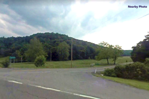
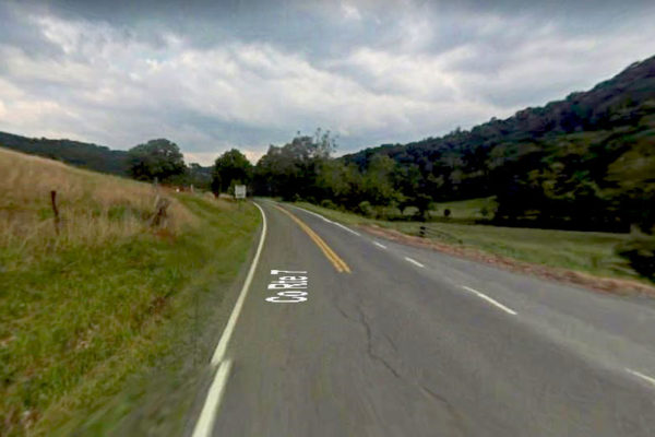
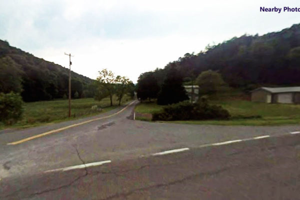
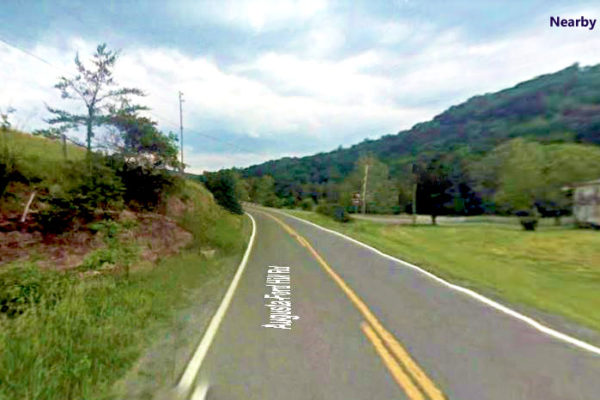
Access: Katybug Lane (dirt on North side) and Briar Lick Rd Paved on S side. Private road for Katybug. Need easement. Briar Lick public and state maintaned. Need right of way for driveway from Brier Lick
RV: yes.
Mobile homes: yes
Taxes: $202.78
Legal Description: 9.493 AC TRACT 10 BRIER LICK ESTATES
GPS Coordinates
Center:39.1869, -78.7443
NW Corner: 39.1889, -78.7461, then S to 39.1866, -78.7446, Then curves over to SE point
SE Corner: 39.1861, -78.7410
NE Corner: 39.1894, -78.7457, Then S to 39.1888, -78.7450, Then S to 39.1882, -78.7446, Then curves S/SE to about 39.1867, -7422, then to SE point
Property Location
Property Location
Discounted Cash Pricing
Cash Price: $25,000
Doc & Reservation Fee: $199
Total: $25,199
Deposit Amount: $100
Terms Pricing
Terms Price: $32,500
Down Payment: $6,500
Interest Rate: 12%
Monthly Payment: $864
Montly Loan Fee : $20
Total Term months : 36
Property Location
Property Details
Size (Acres)
5.54
Best Attribute
Wide Open Space
APN or Other ID
70235760
Legal Description
LOT 1704, BLOCK 113, SANGRE DE CRISTO RANCHES, UNIT J, COSTILLA COUNTY, COLORADO
Approximate GPS Coordinates
37.364998, -105.342107
Property Size
Rural Land
Zoning
Estate – Residential
General Elevation (in feet)
8554
Power
Would be alternative power source.
HOA/POA
SDCR – Membership is optional for $25/year
Water
Well Can Be Drilled
Sewer
Septic can be installed
Roads
Dirt Road
Terrain
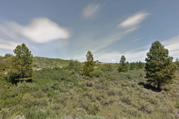
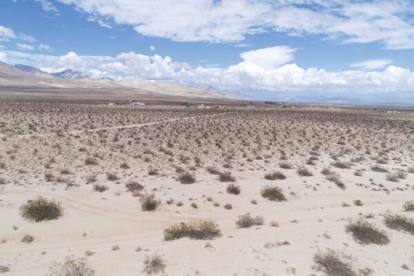
Property on rolling hills
Title Info
Clear Title
Annual Property Taxes (Approx)
$115.64
Related Properties
Contact Seller
Some place are meant to be, and yes, this 9.49-acre is a must-invest oasis that you deserve in Hampshire County, West Virginia. Sitting 3 minutes outside of Kirby, easily accessible both via Briar Lick and Katybug Ln which guarantees a generous open space, quick and easy road access. If you want more of the country feels and scenic trails, a good 13-minute drive up the mountains will take you to the breathtaking Short Mountain Wildlife.
This lot’s pristine location gives you that much-sought privacy that you won’t get anywhere in hustling and bustling city streets! This parcel offers unique outings, beautiful nature and a chance to disconnect and relax as you explore this amazing paradise. Slow down, step back in time, and enjoy simpler pleasures as you reconnect with family, friends, and nature.
Call us today for this offer!
Parcel Number: 9-20-58
Size: 9.49 acres
Property Address: Katybug Lane, Rio, WV 26755
Zoning: No zoning for Hampshire county per planning dept. No setback for county, just need to follow if any for electric, etc or any subdivision info. Home must meet 2015 International Residential Code requirements
Power: There looks to be overhead lines at SE corner of lot and Also corner at Briar Lick and Katybug intersection towards center/NW area of lot. Per electric co, would use briar lick access. Call to set up meter and get pricing eval/site eval
Septic: Septic.No records per county on this lot. Installer must be certified by state. Permit approval/received required before building permits will be issued. Soil/perc test and site eval required
Water: Well
Access: Katybug Lane (dirt on North side) and Briar Lick Rd Paved on S side. Private road for Katybug. Need easement. Briar Lick public and state maintaned. Need right of way for driveway from Brier Lick
RV: yes.
Mobile homes: yes
Taxes: $202.78
Legal Description: 9.493 AC TRACT 10 BRIER LICK ESTATES
GPS Coordinates
Center:39.1869, -78.7443
NW Corner: 39.1889, -78.7461, then S to 39.1866, -78.7446, Then curves over to SE point
SE Corner: 39.1861, -78.7410
NE Corner: 39.1894, -78.7457, Then S to 39.1888, -78.7450, Then S to 39.1882, -78.7446, Then curves S/SE to about 39.1867, -7422, then to SE point
Property Location
Property Location
Discounted Cash Pricing
Cash Price: $25,000
Doc & Reservation Fee: $199
Total: $25,199
Deposit Amount: $100
Terms Pricing
Terms Price: $32,500
Down Payment: $6,500
Interest Rate: 12%
Monthly Payment: $864
Montly Loan Fee : $20
Total Term months : 36

