Contact Seller
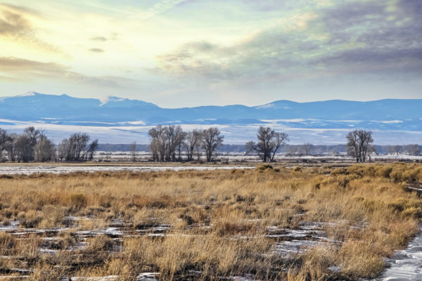
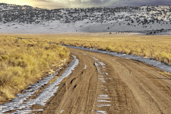
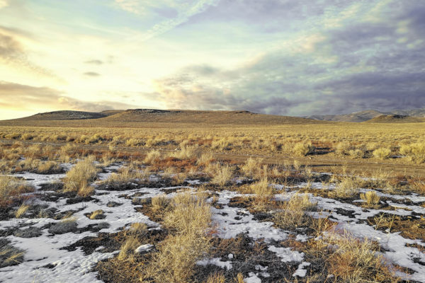
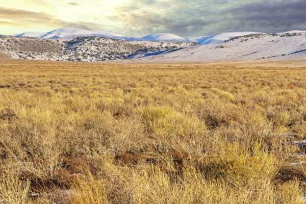
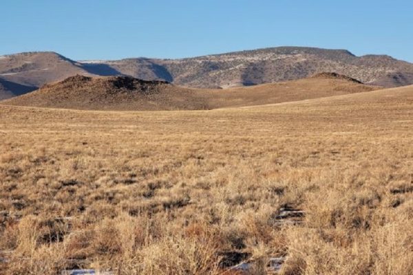
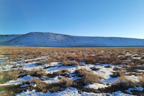
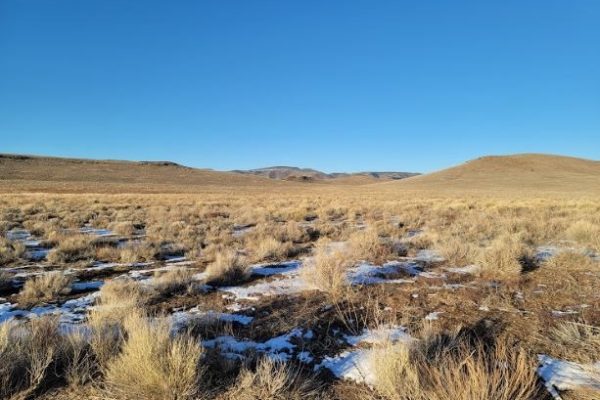
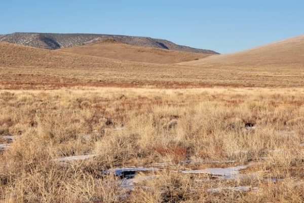
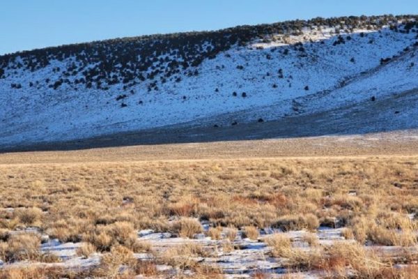
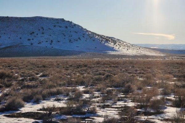
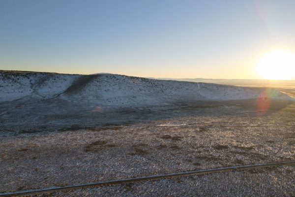
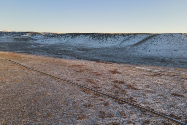
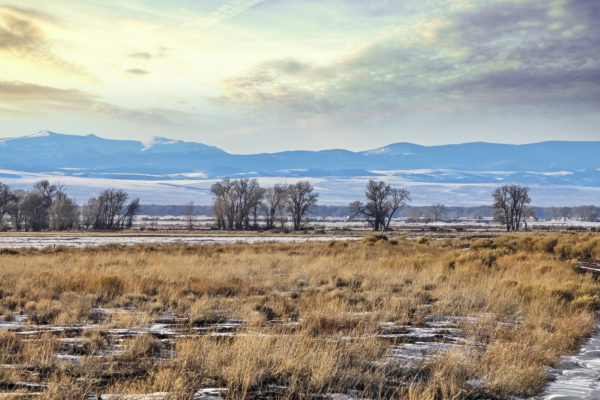
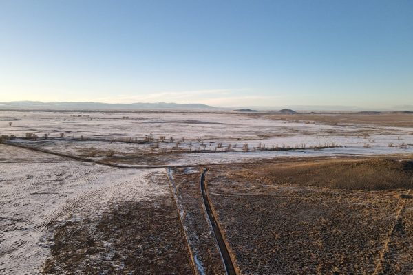
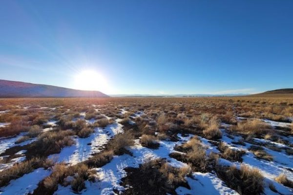
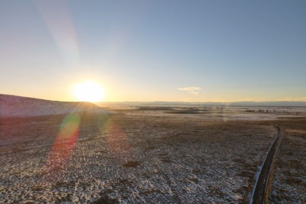
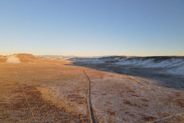
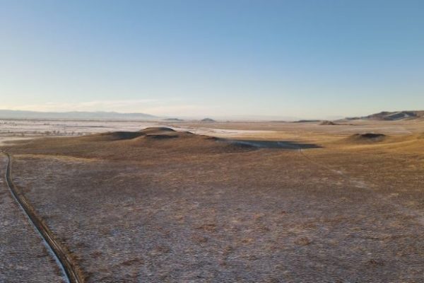
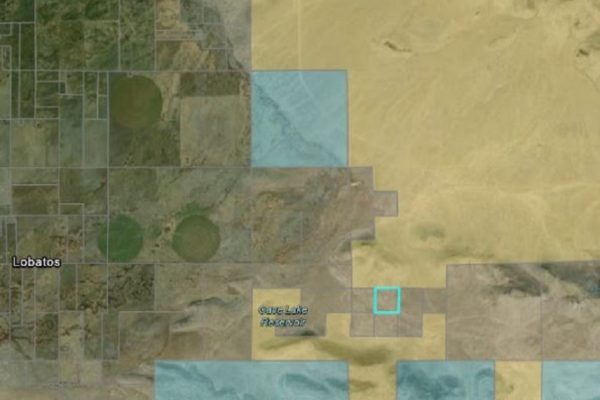
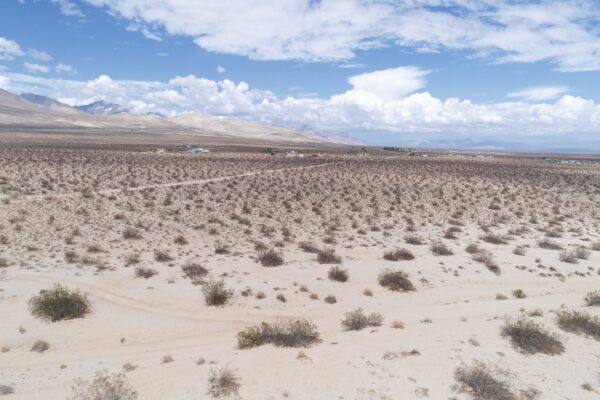
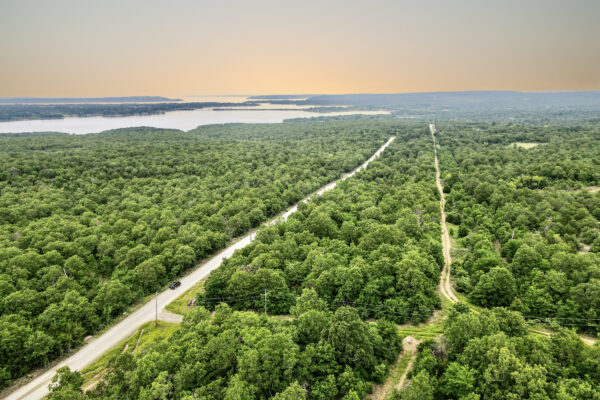
Build your home surrounded by the majestic countryside in Conejos County, Colorado! Cozily snuggled 11 minutes outside the town of Antonito, this 40-acre lot’s got front-row seats to the region’s ever-changing landscape. With the South Piñon Hills HP to the east and the vast acres of farmlands to the west, it truly captures the diversity of the landscape and the myriad of possibilities that it can cater. With the US Hwy 285 just 14 minutes away, travelling to the nearby towns is very much safe and convenient.
Your new property is located at the southernmost part of Colorado and sits in between numerous mountain peaks. Also, your new property comes with a generous space to cater to your hobbies, as well. The region’s unique topography is definitely put into good use as it’s home to a number of attractions that showcase the naturally-beautiful scenery. From hiking trails and camping spots to sandboarding in the Great Sand Dunes National Park.
Don’t miss out! Call us now!
Prop ID: 598927200024
Size of Lot (or LOT AREA): 1,742,400 sq. ft.
Acreage Size: 40 acres
Property Address: N/A, Antonito, CO 81120
Yearly Taxes: $300.66
Zone Type: Rural
Mobile Homes: Mobile home is allowed with county and state permits. No older mobile homes allowed. Must be 1976 and newer.
RV: You can use your RV if you have a current building permit good for one year.
Sewer: Onsite wastewater treatment system would be required. Permit fees are $350.00.
Water: Need to drill a well.
Electricity: No power lines nearby.
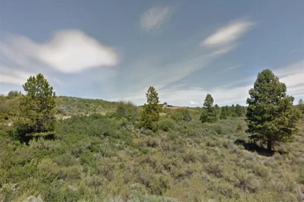
Terrain: Property is sloped.
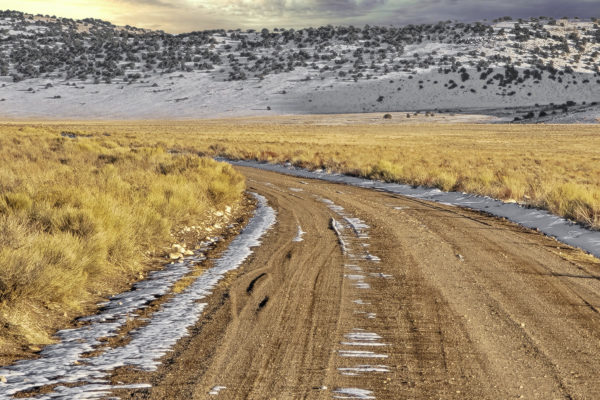
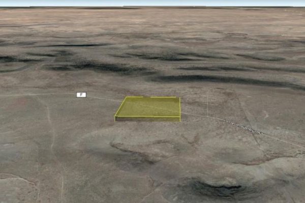
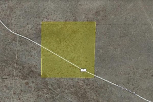
Road Access: Property can be accessed via County Rd F.
Flood Zone: No flood data available.
HOA Past Due: No HOA/POA
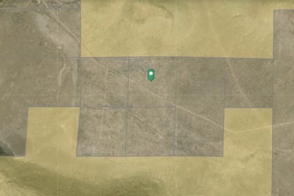
Abbreviated Legal Description: SE1/4 NW1/4 27-33-10 TNA 40P347 P807 R#6002033
GPS Coordinates:
Center: 37.073714, -105.866580
NW: 37.075475, -105.868642
NE: 37.075505, -105.864144
SW: 37.071790, -105.868702
SE: 37.071773, -105.864310
Property Location
Discounted Cash Pricing
Cash Price: $24,000
Doc & Reservation Fee: $199
Total: $24,199
Deposit Amount: $100
Terms Pricing
Terms Price: $31,200
Down Payment: $7,800
Interest Rate: 12%
Monthly Payment: $616
Montly Loan Fee : $20
Total Term months : 48
Property Location
Property Details
Size (Acres)
5.54
Best Attribute
Wide Open Space
APN or Other ID
70235760
Legal Description
LOT 1704, BLOCK 113, SANGRE DE CRISTO RANCHES, UNIT J, COSTILLA COUNTY, COLORADO
Approximate GPS Coordinates
37.364998, -105.342107
Property Size
Rural Land
Zoning
Estate – Residential
General Elevation (in feet)
8554
Power
Would be alternative power source.
HOA/POA
SDCR – Membership is optional for $25/year
Water
Well Can Be Drilled
Sewer
Septic can be installed
Roads
Dirt Road
Terrain
Property on rolling hills
Title Info
Clear Title
Annual Property Taxes (Approx)
$115.64
Related Properties
Contact Seller
Build your home surrounded by the majestic countryside in Conejos County, Colorado! Cozily snuggled 11 minutes outside the town of Antonito, this 40-acre lot’s got front-row seats to the region’s ever-changing landscape. With the South Piñon Hills HP to the east and the vast acres of farmlands to the west, it truly captures the diversity of the landscape and the myriad of possibilities that it can cater. With the US Hwy 285 just 14 minutes away, travelling to the nearby towns is very much safe and convenient.
Your new property is located at the southernmost part of Colorado and sits in between numerous mountain peaks. Also, your new property comes with a generous space to cater to your hobbies, as well. The region’s unique topography is definitely put into good use as it’s home to a number of attractions that showcase the naturally-beautiful scenery. From hiking trails and camping spots to sandboarding in the Great Sand Dunes National Park.
Don’t miss out! Call us now!
Prop ID: 598927200024
Size of Lot (or LOT AREA): 1,742,400 sq. ft.
Acreage Size: 40 acres
Property Address: N/A, Antonito, CO 81120
Yearly Taxes: $300.66
Zone Type: Rural
Mobile Homes: Mobile home is allowed with county and state permits. No older mobile homes allowed. Must be 1976 and newer.
RV: You can use your RV if you have a current building permit good for one year.
Sewer: Onsite wastewater treatment system would be required. Permit fees are $350.00.
Water: Need to drill a well.
Electricity: No power lines nearby.
Terrain: Property is sloped.
Road Access: Property can be accessed via County Rd F.
Flood Zone: No flood data available.
HOA Past Due: No HOA/POA
Abbreviated Legal Description: SE1/4 NW1/4 27-33-10 TNA 40P347 P807 R#6002033
GPS Coordinates:
Center: 37.073714, -105.866580
NW: 37.075475, -105.868642
NE: 37.075505, -105.864144
SW: 37.071790, -105.868702
SE: 37.071773, -105.864310
Property Location
Prop ID: 598927200024
Size of Lot (or LOT AREA): 1,742,400 sq. ft.
Acreage Size: 40 acres
Property Address: N/A, Antonito, CO 81120
Yearly Taxes: $300.66
Zone Type: Rural
Mobile Homes: Mobile home is allowed with county and state permits. No older mobile homes allowed. Must be 1976 and newer.
RV: You can use your RV if you have a current building permit good for one year.
Sewer: Onsite wastewater treatment system would be required. Permit fees are $350.00.
Water: Need to drill a well.
Electricity: No power lines nearby.
Terrain: Property is sloped.
Road Access: Property can be accessed via County Rd F.
Flood Zone: No flood data available.
HOA Past Due: No HOA/POA
Abbreviated Legal Description: SE1/4 NW1/4 27-33-10 TNA 40P347 P807 R#6002033
GPS Coordinates:
Center: 37.073714, -105.866580
NW: 37.075475, -105.868642
NE: 37.075505, -105.864144
SW: 37.071790, -105.868702
SE: 37.071773, -105.864310
Property Location
Discounted Cash Pricing
Cash Price: $24,000
Doc & Reservation Fee: $199
Total: $24,199
Deposit Amount: $100
Terms Pricing
Terms Price: $31,200
Down Payment: $7,800
Interest Rate: 12%
Monthly Payment: $616
Montly Loan Fee : $20
Total Term months : 48

