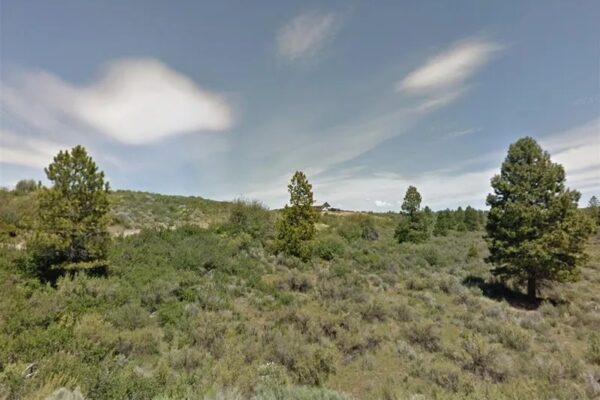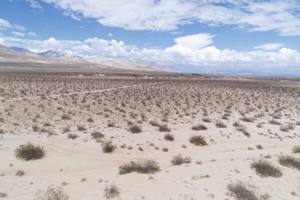
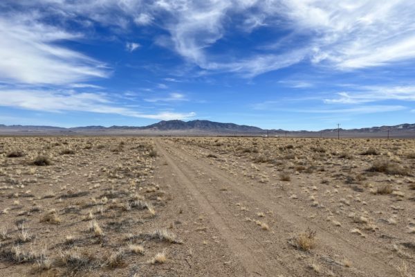
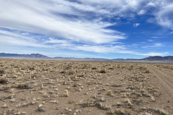
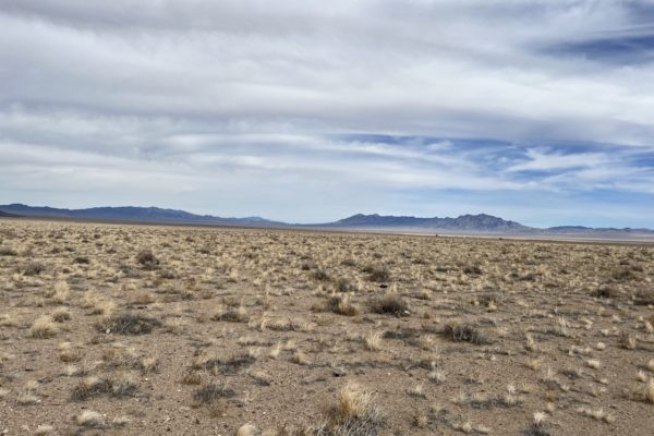
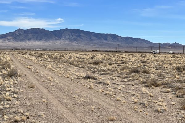
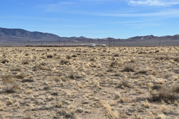
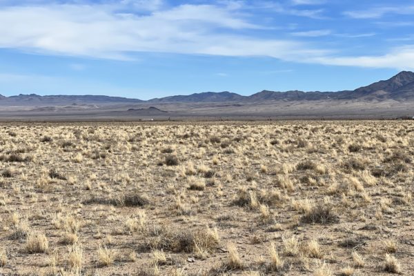
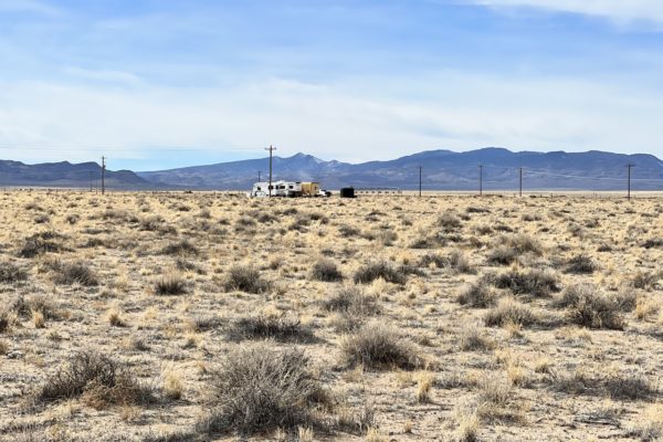
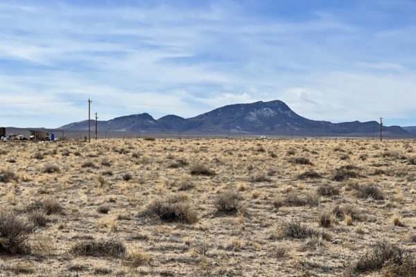
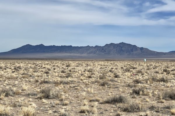
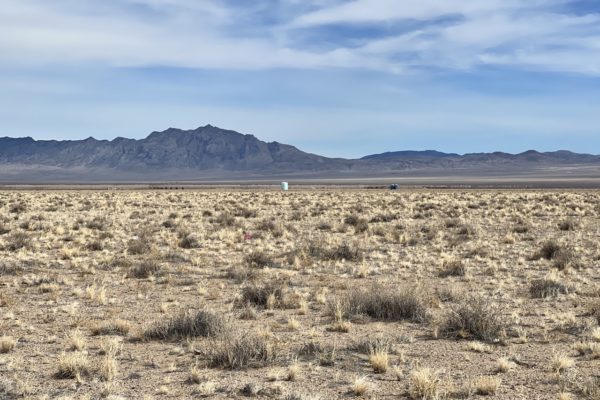
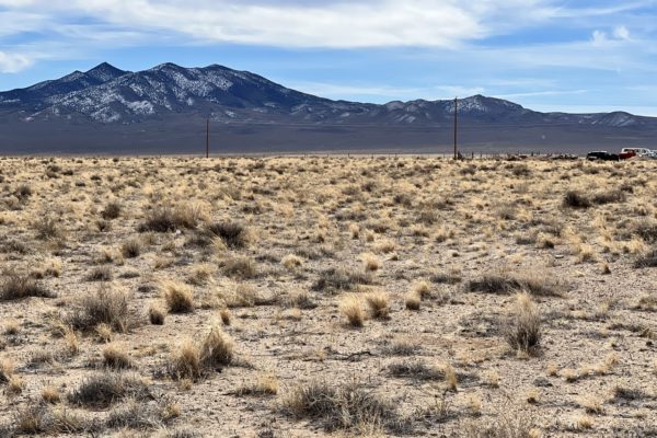
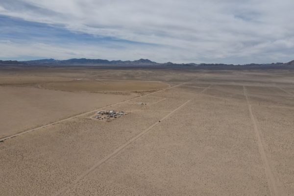
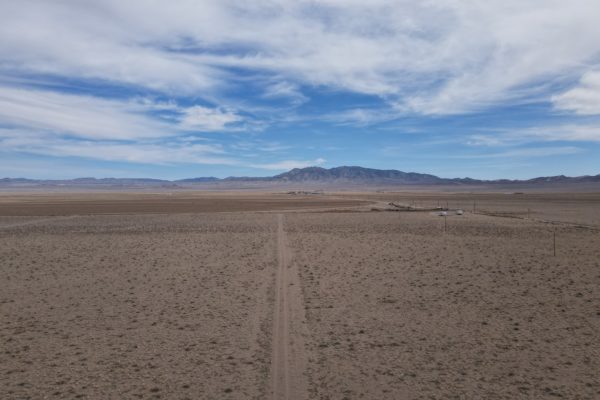
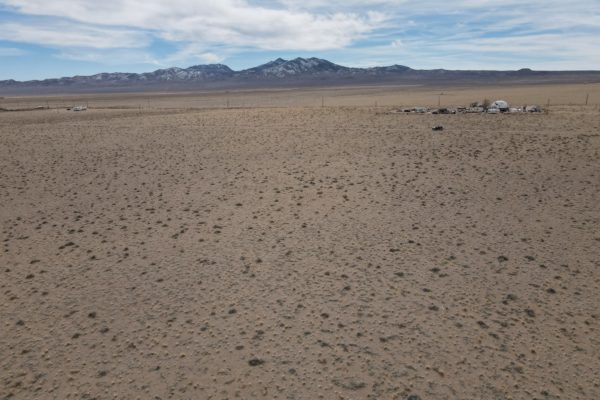
Situated in central southeastern Nevada, these adjacent lots provide privacy for anyone looking to escape the city life and relax in the wonderful area less than an hour outside of Alamo, NV. Located closest to Rachel, NV with only a small general store and an inn, the remote life you’ve been dreaming of is within reach here.
Bald Mountain and Worthington Peak are viewable and within driving distance to visit. Rachel, NV is considered the “UFO Capital of the World” and is in close proximity to the Nellis Air Force Range and Area 51. Rachel, NV is just a couple hours north of Las Vegas and proves to be a popular destination for those searching for extraterrestrial life along Nevada Highway 375 (the “ Extraterrestrial Highway”).
Ready to check it out? Contact us today!
Prop ID: |
010-131-06 and 010-131-11 |
Size of Lot (or LOT AREA): |
203,860 sq. ft. |
Acreage Size: |
4.68 ac |
Tax Assessment Year: |
2021 |
Yearly Taxes: |
$46.45 each |
Zone Type: |
Rural Residential |
Mobile Homes: |
Mobile homes are allowed. It must be 1980 newer and up to HUD standards. Manufactured homes are also okay as long as it meets Lincoln County NV standards. |
RV: |
You can have your RV on the lot for 14 days without permit as long as you have septic. You can stay in your RV while building a home and with an active building permit. |
Sewer: |
Septic can be installed. |
Water: |
Well can be drilled. |
Electricity: |
The nearest power post is about 0.20 miles away from the lot. |
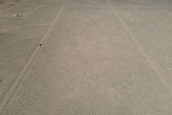
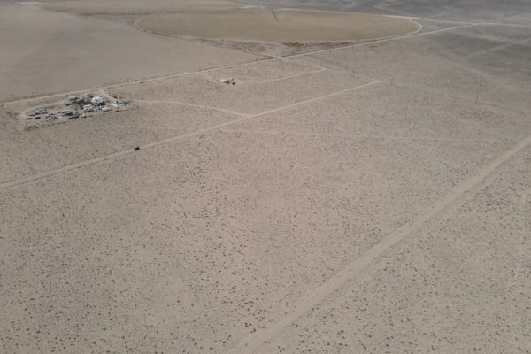
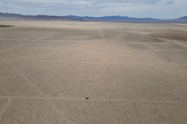
Terrain: |
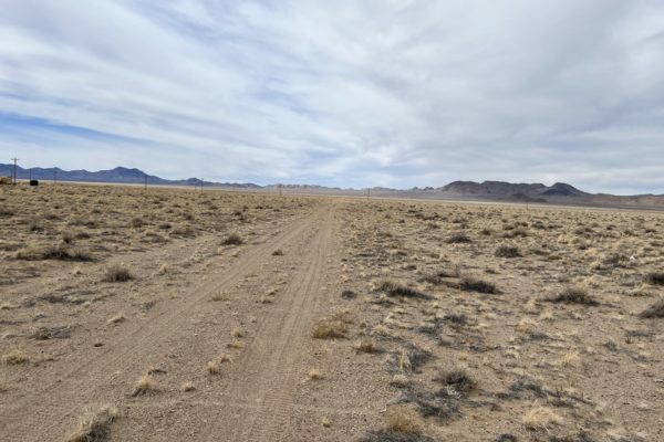
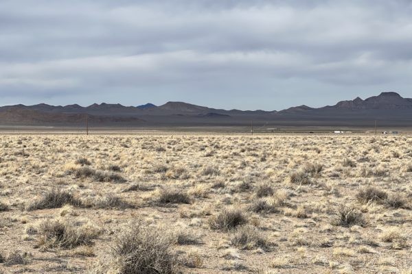
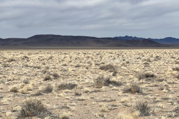
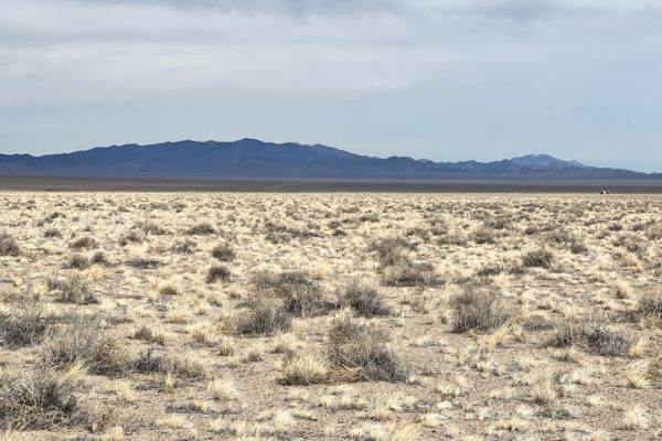
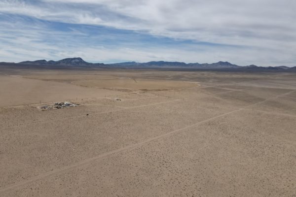
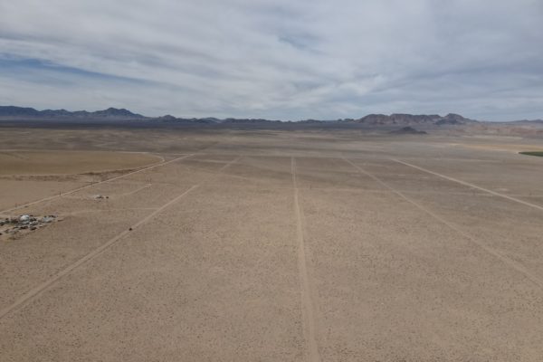
Property is flat. |
Road Access: |
Property can be accessed via a dirt road on the Northern and Southern portion of the lots that connects to Winchester Rd. According to the P&Z, it is a planned road so it can be legal access for the lot owners. |
Flood Zone: |
Not in a floodzone area. |
HOA Information: |
None found. |
Legal Description: |
1 LOT LINCOLN ESTATES SE 1/4 |
GPS Coordinates:APN: 01013204, 01013213 |
|
Center: |
37.653083, -115.830289, 37.652297, -115.830317 |
NW: |
37.653517, -115.830854, 37.652690, -115.830893 |
NE: |
37.653500, -115.829712, 37.652672, -115.829741 |
SW: |
37.652690, -115.830893, 37.651878, -115.830920 |
SE: |
37.652672, -115.829741, 37.651864, -115.829770 |
“We have not visited this property. We have posted all of the information we have available about this property and we encourage our customers to do their own due diligence prior to purchasing.”