Contact Seller
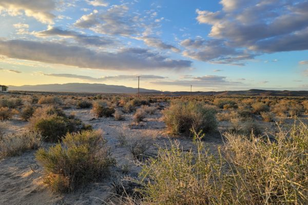
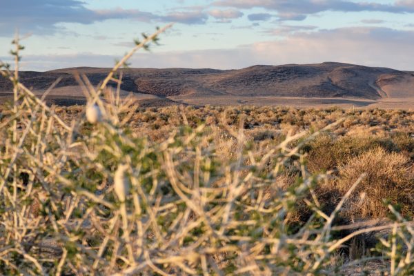
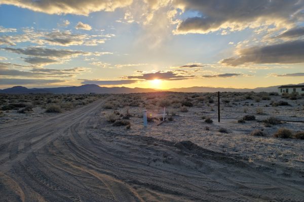
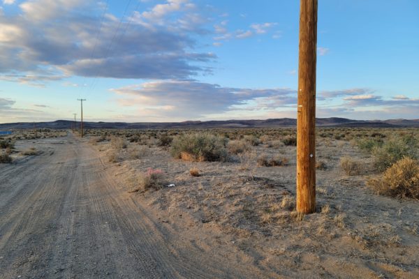
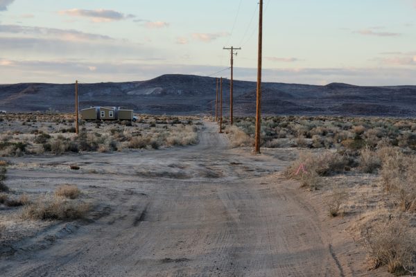
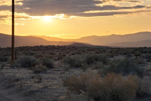
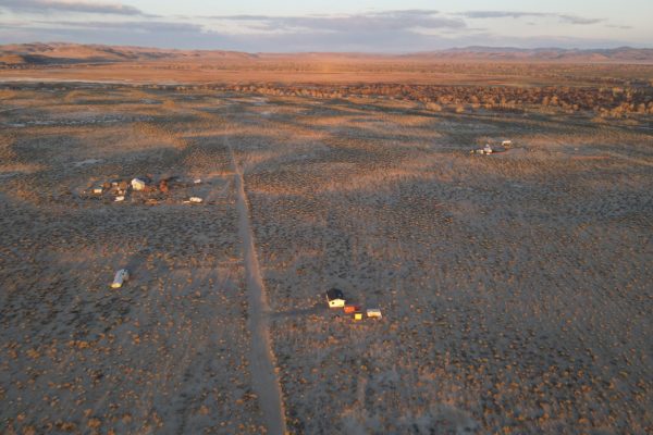
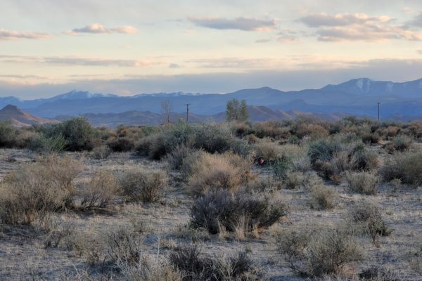
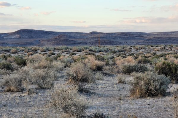
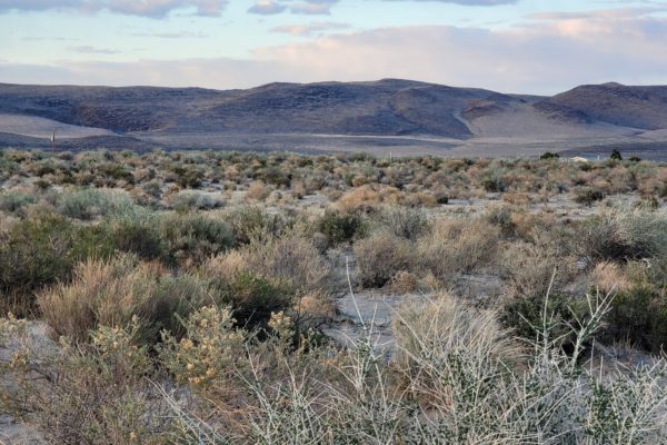
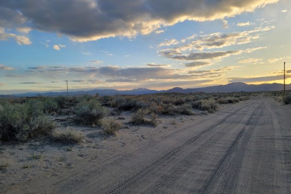
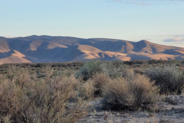
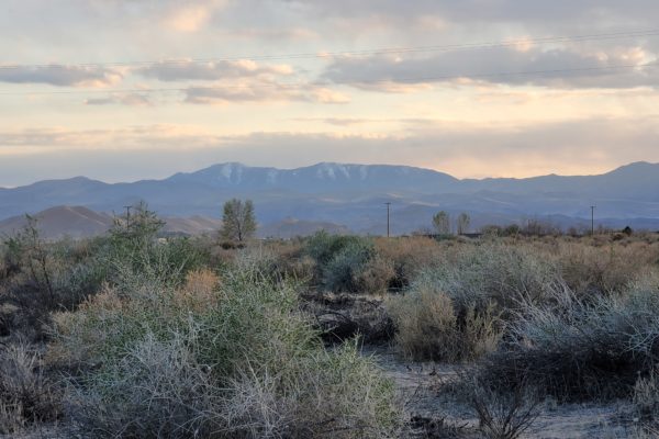
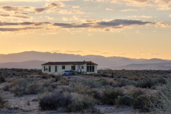
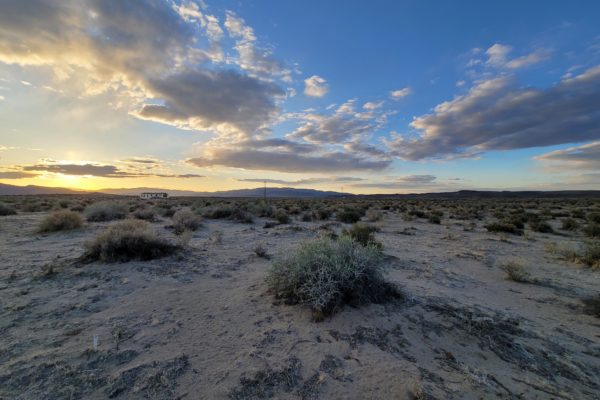
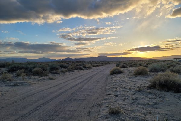
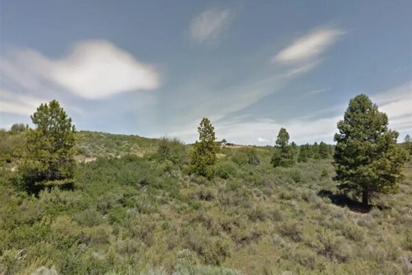
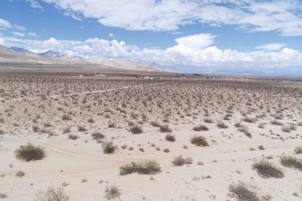
Looking for Mountain Views & a City Escape? Look No Further than this 4.34-acre in Silver Springs (Lyon County), Nevada. If you’ve been searching for your own spot to get away, accompanied by gorgeous mountain views and close proximity to Lahontan State Park, you’ve found it! This property is not only something you can enjoy now with friends and family, but it’s also a great investment in your future. Property is the gift that keeps on giving.
Wake up to the sound of the quiet place, and then head out for a day of adventure. Other nearby attractions include the not-to-be-missed; Churchill Valley, Lahontan State Park and Fernley Wildlife Management Area.
What are you waiting for? Call us today!
Prop ID: 017-225-09
Size of Lot (or LOT AREA): 189,050 sq. ft.
Acreage Size: 4.34 acres
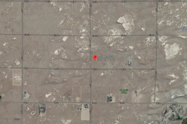
Property Address: 5030 E Fourth St, Silver Springs, NV 89429
Yearly Taxes: $102.13
Zone Type: RR3. Non conforming so less than 5 acres is ok.
Mobile Homes: Mobile homes are allowed.
RV: Not allowed for residency
Sewer: Would need septic. Per state office, managed by Lyon County. Owner would include septic in with building permit and residency has to be approved/established to issue permit.
Water: Would need well . Install and permitting through Division of Water Resources
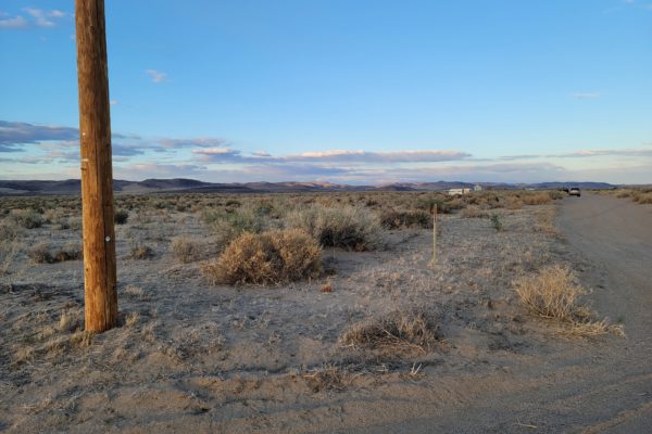
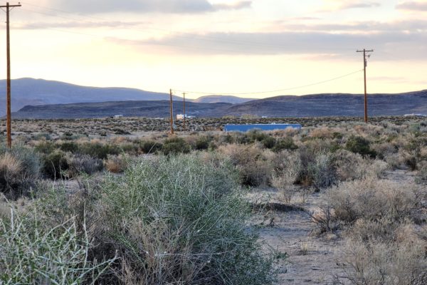
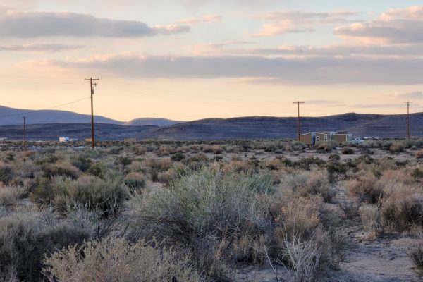
Electricity: Overhead Lines 180 ft away
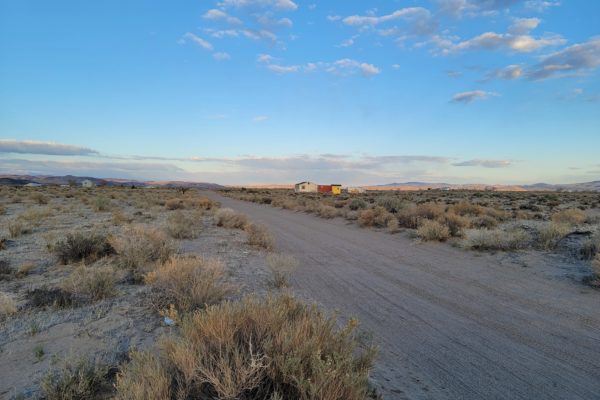
Terrain: Flat
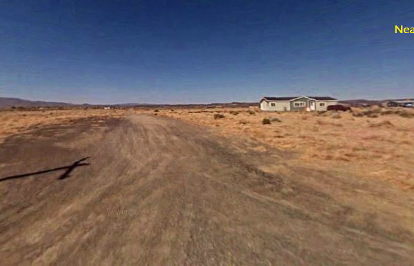
Road Access: E Fourth St and Blueberry St-Dirt Roads
Flood Zone: no – 1 mile away is.
HOA Past Due: None listed in deed. None found online. None per zoning office
Abbreviated Legal Description: Fr SW4: Parcel No. 57 as shown on the official SEC/LOT: 11 TWN/BLK: 17 RANGE: 25 ACRES: 4.34 Map of Lakeside Subdivision No. 3,
GPS Coordinates:
Center: 39.3502, -119.1547
NW: 39.3509, -119.1552
NE: 39.3510, -119.1542
SW: 39.3493, -119.1552
SE: 39.3493, -119.1542
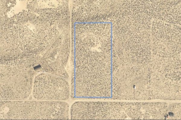
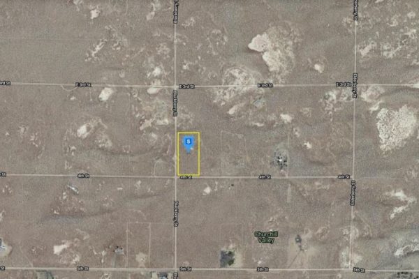
Property Location
Property Location
Discounted Cash Pricing
Cash Price: $19,900
Doc & Reservation Fee: $199
Total: $20,099
Deposit Amount: $1,000
Terms Pricing
Terms Price: $25,899
Down Payment: $6,475
Interest Rate: 12%
Monthly Payment: $512
Montly Loan Fee : $20
Total Term months : 48
Property Location
Property Details
Size (Acres)
5.54
Best Attribute
Wide Open Space
APN or Other ID
70235760
Legal Description
LOT 1704, BLOCK 113, SANGRE DE CRISTO RANCHES, UNIT J, COSTILLA COUNTY, COLORADO
Approximate GPS Coordinates
37.364998, -105.342107
Property Size
Rural Land
Zoning
Estate – Residential
General Elevation (in feet)
8554
Power
Would be alternative power source.
HOA/POA
SDCR – Membership is optional for $25/year
Water
Well Can Be Drilled
Sewer
Septic can be installed
Roads
Dirt Road
Terrain
Property on rolling hills
Title Info
Clear Title
Annual Property Taxes (Approx)
$115.64
Related Properties
Contact Seller
Looking for Mountain Views & a City Escape? Look No Further than this 4.34-acre in Silver Springs (Lyon County), Nevada. If you’ve been searching for your own spot to get away, accompanied by gorgeous mountain views and close proximity to Lahontan State Park, you’ve found it! This property is not only something you can enjoy now with friends and family, but it’s also a great investment in your future. Property is the gift that keeps on giving.
Wake up to the sound of the quiet place, and then head out for a day of adventure. Other nearby attractions include the not-to-be-missed; Churchill Valley, Lahontan State Park and Fernley Wildlife Management Area.
What are you waiting for? Call us today!
Prop ID: 017-225-09
Size of Lot (or LOT AREA): 189,050 sq. ft.
Acreage Size: 4.34 acres
Property Address: 5030 E Fourth St, Silver Springs, NV 89429
Yearly Taxes: $102.13
Zone Type: RR3. Non conforming so less than 5 acres is ok.
Mobile Homes: Mobile homes are allowed.
RV: Not allowed for residency
Sewer: Would need septic. Per state office, managed by Lyon County. Owner would include septic in with building permit and residency has to be approved/established to issue permit.
Water: Would need well . Install and permitting through Division of Water Resources
Electricity: Overhead Lines 180 ft away
Terrain: Flat
Road Access: E Fourth St and Blueberry St-Dirt Roads
Flood Zone: no – 1 mile away is.
HOA Past Due: None listed in deed. None found online. None per zoning office
Abbreviated Legal Description: Fr SW4: Parcel No. 57 as shown on the official SEC/LOT: 11 TWN/BLK: 17 RANGE: 25 ACRES: 4.34 Map of Lakeside Subdivision No. 3,
GPS Coordinates:
Center: 39.3502, -119.1547
NW: 39.3509, -119.1552
NE: 39.3510, -119.1542
SW: 39.3493, -119.1552
SE: 39.3493, -119.1542
Property Location
Property Location
Discounted Cash Pricing
Cash Price: $19,900
Doc & Reservation Fee: $199
Total: $20,099
Deposit Amount: $1,000
Terms Pricing
Terms Price: $25,899
Down Payment: $6,475
Interest Rate: 12%
Monthly Payment: $512
Montly Loan Fee : $20
Total Term months : 48

