Contact Seller
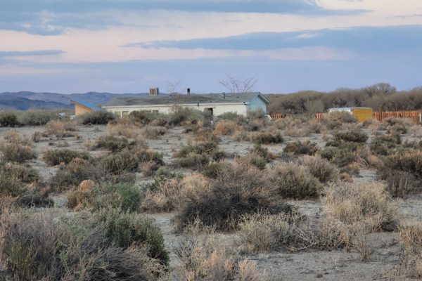
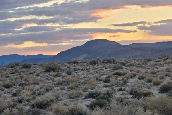
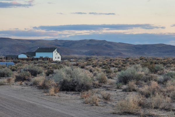
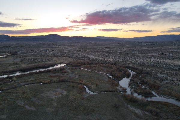
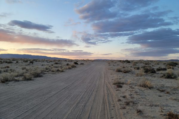
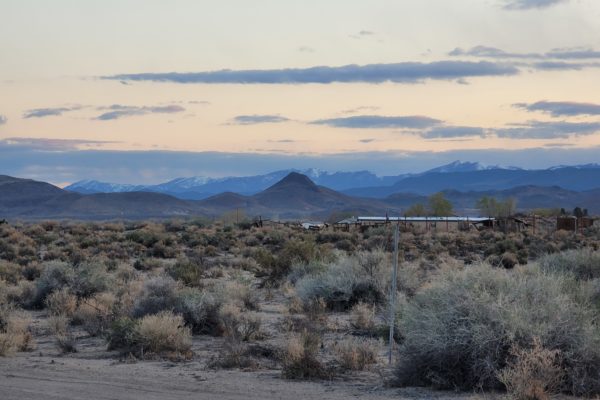
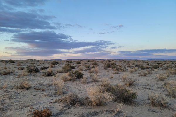
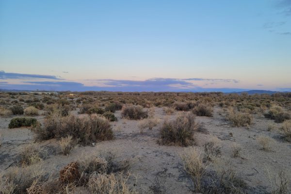
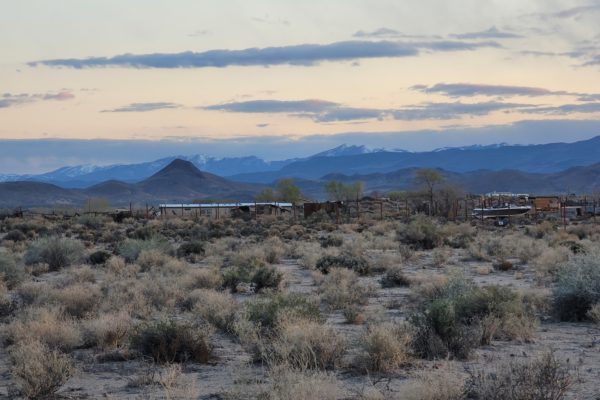
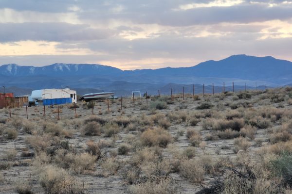
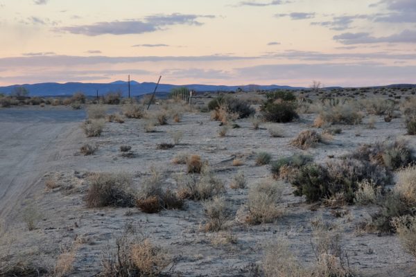
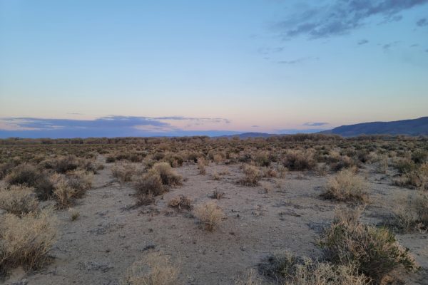
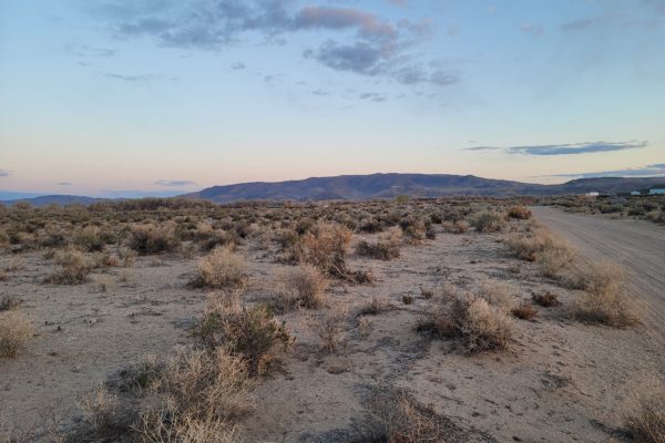
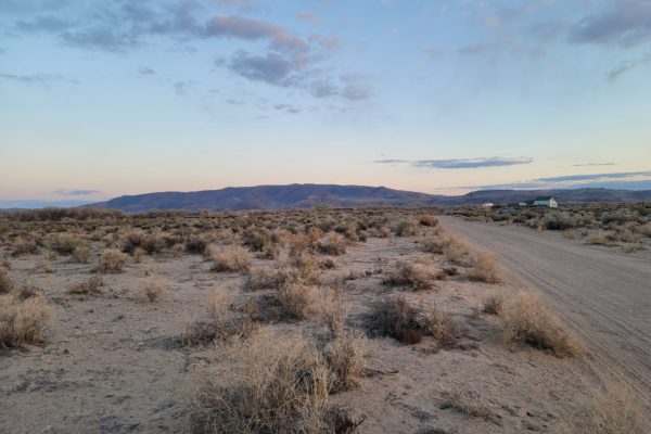
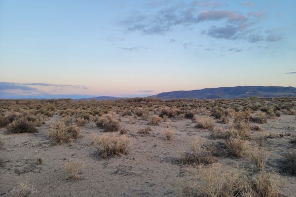
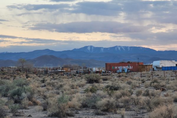
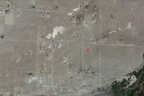
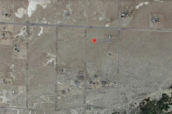
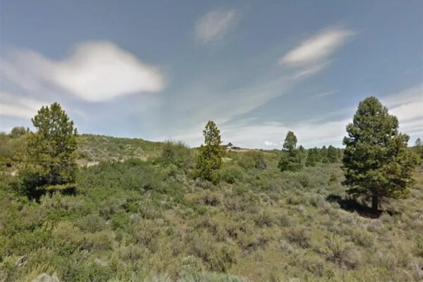
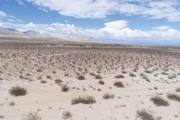
Enjoy the peace and quiet solitude of living off-grid in this 1.04-acre property with breathtaking views close to Lahontan Reservoir. This lot sits off Buckland St, approximately 9.6 miles to downtown Silver Springs. USA Parkway is just minutes away, providing easy access to Reno and Sparks. Carson and Tahoe are both to the West offering plenty of shopping and recreation activities.
This lot offers the perfect opportunity to be far enough away to feel remote, but close enough to schools, shopping and amenities to be convenient. Just minutes from all the fun in the sun you can handle with Lahontan State park and Lake Lahontan; and just a short commute to Tesla’s Gigafactory and/or the big city of Reno.
What are you waiting for? Call us now to learn more about the offer!
PROPERTY DETAILS:
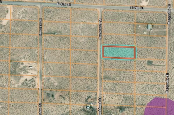
Prop ID: 017-504-24
Size of Lot (or LOT AREA): 45,302 sq. ft.
Acreage Size: 1.04 acres
Property Address: 8070 Buckland St, Silver Springs, NV 89429
Yearly Taxes: $83.31
Zone Type: RR- (Rural Residential 5 acre min) Used to be RR3T. This is legal non conforming which means it is ok to build on this lot. Setbacks for this 1 acre are the same as 5 acre. Info per zoning department 1/27
Mobile Homes: Mobile homes are allowed.
RV: Not allowed for Residency
Sewer: Would need Septic. Per State Office, managed by Lyon County. Per County, no previous soil/perc tests. Owner would include septic in with building permit.
Water: Would need well . Install and permitting through Division of Water Resources
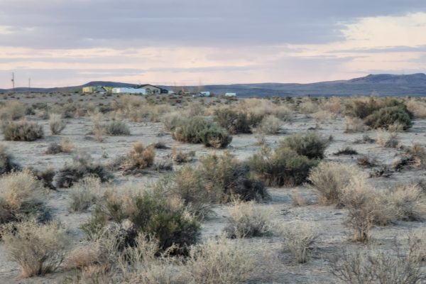
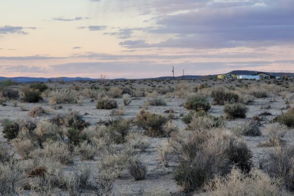
Electricity: Overhead lines near homes around this lot, but there are some lines 1700 ft away.
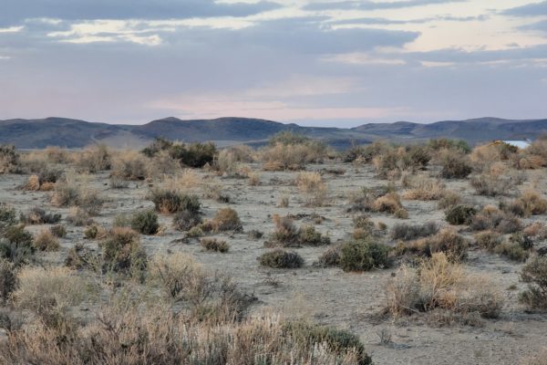
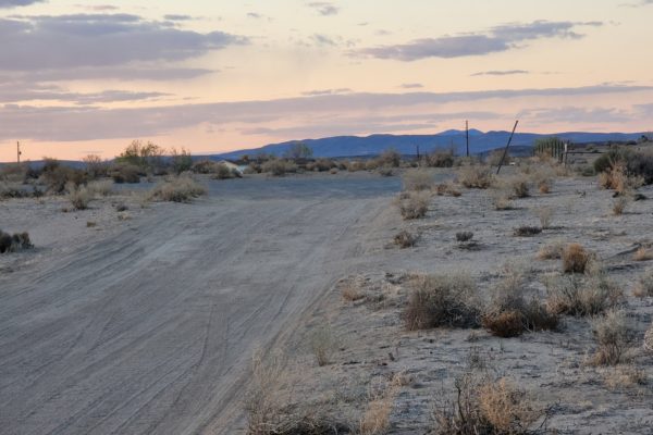
Terrain: Level/Flat
Road Access: Dirt Road: Buckland St
Flood Zone: Not for this lot. Flood zone to S and SE
HOA Past Due: None listed in deeds, no info found online for this Subdivision
Abbreviated Legal Description: 21-17-25 FR NE4 NE4 FR NE4: LOT 58, BEING ONE ACRE MORE OR LESS, AS SHOWN ON THE MAP OF CARSON RIVER ACRES SUBDIVISION UNIT NO. 2, AS FILED IN THE OFFICE OF THE LYON COUNTY RECORDER ON MARCH 9, 1970.
GPS Coordinates:
Center: 39.3303, -119.1762
NW: 39.3305, -119.1769
NE: 39.3305, -119.1756
SW: 39.3301, -119.1769
SE: 39.3301, -119.1756
Property Location
Property Location
Discounted Cash Pricing
Cash Price: $14,990
Doc & Reservation Fee: $199
Total: $15,189
Deposit Amount: $999
Terms Pricing
Terms Price: $19,499
Down Payment: $2,801
Interest Rate: 12%
Monthly Payment: $582
Montly Loan Fee : $20
Total Term months : 34
Property Location
Property Details
Size (Acres)
5.54
Best Attribute
Wide Open Space
APN or Other ID
70235760
Legal Description
LOT 1704, BLOCK 113, SANGRE DE CRISTO RANCHES, UNIT J, COSTILLA COUNTY, COLORADO
Approximate GPS Coordinates
37.364998, -105.342107
Property Size
Rural Land
Zoning
Estate – Residential
General Elevation (in feet)
8554
Power
Would be alternative power source.
HOA/POA
SDCR – Membership is optional for $25/year
Water
Well Can Be Drilled
Sewer
Septic can be installed
Roads
Dirt Road
Terrain
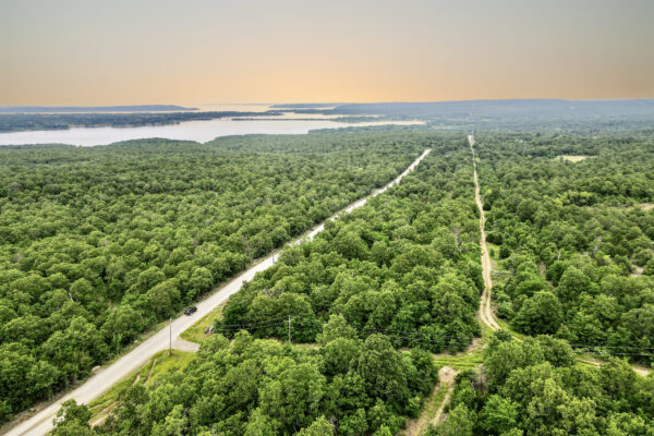
Property on rolling hills
Title Info
Clear Title
Annual Property Taxes (Approx)
$115.64
Related Properties
Contact Seller
Enjoy the peace and quiet solitude of living off-grid in this 1.04-acre property with breathtaking views close to Lahontan Reservoir. This lot sits off Buckland St, approximately 9.6 miles to downtown Silver Springs. USA Parkway is just minutes away, providing easy access to Reno and Sparks. Carson and Tahoe are both to the West offering plenty of shopping and recreation activities.
This lot offers the perfect opportunity to be far enough away to feel remote, but close enough to schools, shopping and amenities to be convenient. Just minutes from all the fun in the sun you can handle with Lahontan State park and Lake Lahontan; and just a short commute to Tesla’s Gigafactory and/or the big city of Reno.
What are you waiting for? Call us now to learn more about the offer!
PROPERTY DETAILS:
Prop ID: 017-504-24
Size of Lot (or LOT AREA): 45,302 sq. ft.
Acreage Size: 1.04 acres
Property Address: 8070 Buckland St, Silver Springs, NV 89429
Yearly Taxes: $83.31
Zone Type: RR- (Rural Residential 5 acre min) Used to be RR3T. This is legal non conforming which means it is ok to build on this lot. Setbacks for this 1 acre are the same as 5 acre. Info per zoning department 1/27
Mobile Homes: Mobile homes are allowed.
RV: Not allowed for Residency
Sewer: Would need Septic. Per State Office, managed by Lyon County. Per County, no previous soil/perc tests. Owner would include septic in with building permit.
Water: Would need well . Install and permitting through Division of Water Resources
Electricity: Overhead lines near homes around this lot, but there are some lines 1700 ft away.
Terrain: Level/Flat
Road Access: Dirt Road: Buckland St
Flood Zone: Not for this lot. Flood zone to S and SE
HOA Past Due: None listed in deeds, no info found online for this Subdivision
Abbreviated Legal Description: 21-17-25 FR NE4 NE4 FR NE4: LOT 58, BEING ONE ACRE MORE OR LESS, AS SHOWN ON THE MAP OF CARSON RIVER ACRES SUBDIVISION UNIT NO. 2, AS FILED IN THE OFFICE OF THE LYON COUNTY RECORDER ON MARCH 9, 1970.
GPS Coordinates:
Center: 39.3303, -119.1762
NW: 39.3305, -119.1769
NE: 39.3305, -119.1756
SW: 39.3301, -119.1769
SE: 39.3301, -119.1756
Property Location
Property Location
Discounted Cash Pricing
Cash Price: $14,990
Doc & Reservation Fee: $199
Total: $15,189
Deposit Amount: $999
Terms Pricing
Terms Price: $19,499
Down Payment: $2,801
Interest Rate: 12%
Monthly Payment: $582
Montly Loan Fee : $20
Total Term months : 34

